Ceriale night lights from space
Night Light of Ceriale (Liguria) from space (Italy) Src. Average luminocity for 10x10km area is 41.5076% and for 50x50km: 10.1376%.
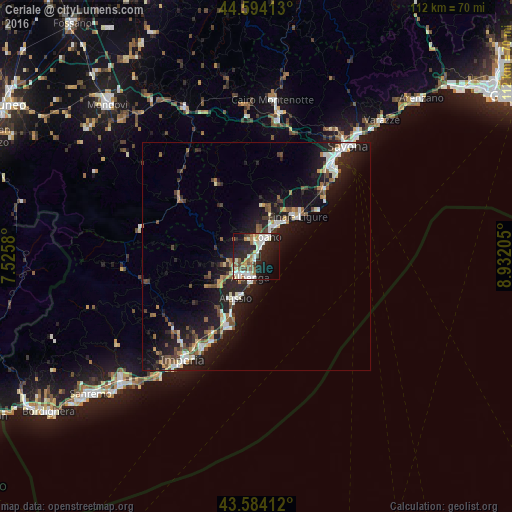
Analysis of Ceriale night lights 2016
Square area 10x10 km:
 7.42%
7.42%90-99
11.06%80-89
3.94%70-79
2.73%60-69
6.06%50-59
4.85%40-49
3.94%30-39
2.42%20-29
18.48%10-19
26.82%0-9
12.27%Square area 50x50 km:
1.21%90-99
1.93%80-89
0.75%70-79
0.8%60-69
1.25%50-59
1.27%40-49
1.54%30-39
1.31%20-29
3.46%10-19
11.17%0-9
75.3%Clear (daylight) street map image can be seen on geolist.org.
Map coordinates:
44° 35' 38.9" North, 7° 31' 32.9" East
44° 5' 28.6" North, 8° 13' 44.1" East
43° 35' 2.8" North, 8° 55' 55.4" East
Some cities around Ceriale sort by population:
• Albenga
4.7 km =2.9 mi,  190°
190°
• Loano
4.7 km =2.9 mi,  29°
29°
• Alassio
10.9 km =6.8 mi,  206°
206°
• Finale Ligure
12.6 km =7.8 mi,  46°
46°
• Pietra Ligure
7.7 km =4.8 mi, 33°
• Andora
16.7 km =10.4 mi,  204°
204°
• Diano Marina
23.3 km =14.5 mi, 210°
• Marina di Andora
16.4 km =10.2 mi, 201°
3179079 (p: 5,152)
Sources (retrieved 2019-11-25):
» Earth at Night: Flat Maps 2012, 2016