Crotone night lights from space
Night Light of Crotone (Calabria) from space (Italy) Src. Average luminocity for 10x10km area is 39.3718% and for 50x50km: 7.592%.
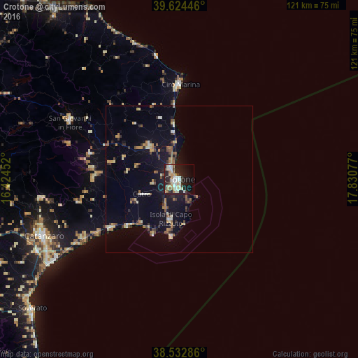
Analysis of Crotone night lights 2016
Square area 10x10 km:
 6.49%
6.49%90-99
11.69%80-89
5.52%70-79
2.76%60-69
4.06%50-59
2.92%40-49
2.76%30-39
3.41%20-29
18.18%10-19
21.75%0-9
20.45%Square area 50x50 km:
0.5%90-99
1.16%80-89
0.83%70-79
1%60-69
0.97%50-59
1.01%40-49
0.78%30-39
1.04%20-29
1.68%10-19
5.89%0-9
85.16%Clear (daylight) street map image can be seen on geolist.org.
Map coordinates:
39° 37' 28.1" North, 16° 25' 28.3" East
39° 4' 50.8" North, 17° 7' 39.5" East
38° 31' 58.3" North, 17° 49' 50.8" East
Some cities around Crotone sort by population:
• San Giovanni in Fiore
41.8 km =26 mi,  297°
297°
• Cirò Marina
32 km =19.9 mi,  359°
359°
• Isola di Capo Rizzuto
13.9 km =8.6 mi,  192°
192°
• Cariati
48.5 km =30.1 mi,  342°
342°
• Cutro
13.2 km =8.2 mi,  247°
247°
• Mesoraca
29.3 km =18.2 mi,  269°
269°
• Petilia Policastro
30.1 km =18.7 mi,  276°
276°
• Cotronei
31.5 km =19.6 mi,  286°
286°
2524881 (p: 48,704)
Sources (retrieved 2019-11-25):
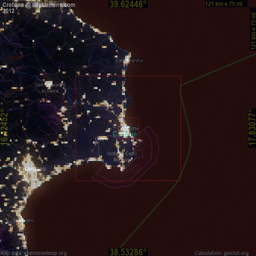
» Earth at Night: Flat Maps 2012, 2016