Conegliano night lights from space
Night Light of Conegliano (Veneto) from space (Italy) Src. Average luminocity for 10x10km area is 56.6116% and for 50x50km: 31.459%.
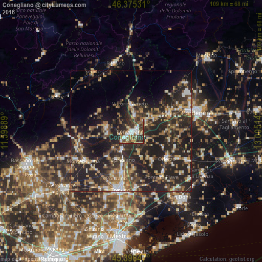
Analysis of Conegliano night lights 2016
Square area 10x10 km:
 10.27%
90-99
11.01%80-89
5.21%70-79
5.95%60-69
8.48%50-59
8.04%40-49
17.86%30-39
12.2%20-29
18.15%10-19
2.83%0-9
0%Square area 50x50 km:
2.48%90-99
4.92%80-89
3%70-79
3.8%60-69
4.87%50-59
5.4%40-49
6.16%30-39
6.66%20-29
18.07%10-19
19.3%0-9
25.34%Clear (daylight) street map image can be seen on geolist.org.
Map coordinates:
46° 22' 31.1" North, 11° 35' 56" East
45° 53' 17" North, 12° 18' 7.2" East
45° 23' 47.3" North, 13° 0' 18.5" East
Some cities around Conegliano sort by population:
• Vittorio Veneto
10.3 km =6.4 mi,  359°
359°
• Pieve di Soligo
10.2 km =6.3 mi,  276°
276°
• San Vendemiano
3.8 km =2.4 mi,  91°
91°
• Santa Lucia di Piave
3 km =1.9 mi,  192°
192°
• Mareno di Piave
5.4 km =3.4 mi,  150°
150°
• Priula-Colfosco
8.3 km =5.2 mi,  204°
204°
• San Vendemiano-Fossamerlo
2.2 km =1.4 mi,  79°
79°
• Vazzola
10.1 km =6.3 mi,  125°
125°
3178197 (p: 30,765)
Sources (retrieved 2019-11-25):
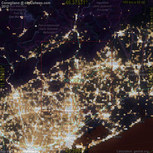
» Earth at Night: Flat Maps 2012, 2016