Vittorio Veneto night lights from space
Night Light of Vittorio Veneto (Veneto) from space (Italy) Src. Average luminocity for 10x10km area is 33.1994% and for 50x50km: 23.6332%.
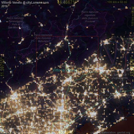
Analysis of Vittorio Veneto night lights 2016
Square area 10x10 km:
 2.53%
2.53%90-99
3.42%80-89
2.53%70-79
4.32%60-69
6.85%50-59
4.91%40-49
8.48%30-39
11.01%20-29
8.04%10-19
34.67%0-9
13.24%Square area 50x50 km:
1.75%90-99
3.55%80-89
2.28%70-79
2.66%60-69
3.38%50-59
3.78%40-49
4.85%30-39
5.23%20-29
13.08%10-19
15.85%0-9
43.6%Clear (daylight) street map image can be seen on geolist.org.
Map coordinates:
46° 28' 0.2" North, 11° 35' 51.1" East
45° 58' 48.9" North, 12° 18' 2.3" East
45° 29' 22.2" North, 13° 0' 13.6" East
Some cities around Vittorio Veneto sort by population:
• Conegliano
10.3 km =6.4 mi,  179°
179°
• Sacile
15.9 km =9.9 mi,  100°
100°
• Pieve di Soligo
13.5 km =8.4 mi,  227°
227°
• San Vendemiano
11.1 km =6.9 mi,  159°
159°
• Santa Lucia di Piave
13.2 km =8.2 mi, 182°
• Mareno di Piave
15.2 km =9.4 mi,  169°
169°
• Caneva
11.8 km =7.3 mi, 95°
• San Vendemiano-Fossamerlo
10.1 km =6.3 mi, 167°
3164028 (p: 24,789)
Sources (retrieved 2019-11-25):
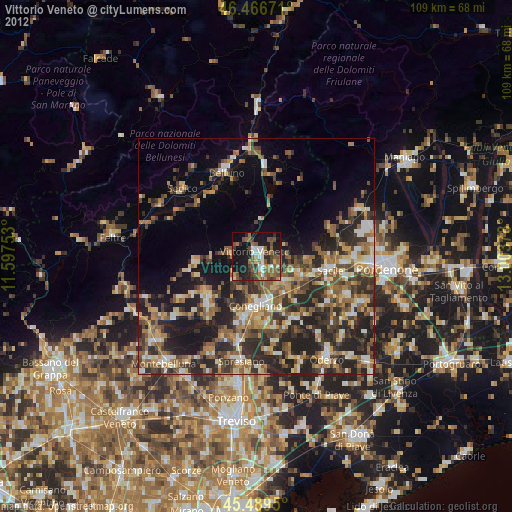
» Earth at Night: Flat Maps 2012, 2016