Cefalù night lights from space
Night Light of Cefalù (Sicily) from space (Italy) Src. Average luminocity for 10x10km area is 9.9756% and for 50x50km: 3.1596%.
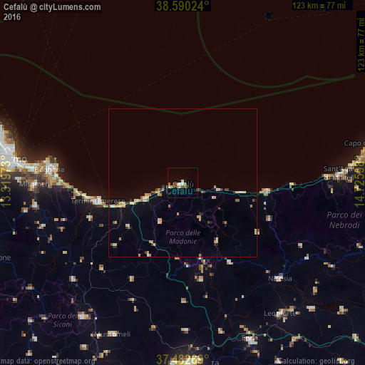
Analysis of Cefalù night lights 2016
Square area 10x10 km:
 0.65%
0.65%90-99
0.65%80-89
2.6%70-79
0.65%60-69
1.62%50-59
2.27%40-49
0.81%30-39
1.79%20-29
0.65%10-19
0%0-9
88.31%Square area 50x50 km:
0.13%90-99
0.19%80-89
0.83%70-79
0.51%60-69
0.45%50-59
0.38%40-49
0.22%30-39
0.37%20-29
0.4%10-19
0.53%0-9
95.99%Clear (daylight) street map image can be seen on geolist.org.
Map coordinates:
38° 35' 24.9" North, 13° 19' 11" East
38° 2' 18.8" North, 14° 1' 22.3" East
37° 28' 57.7" North, 14° 43' 33.5" East
Some cities around Cefalù sort by population:
• Termini Imerese
29.2 km =18.1 mi,  257°
257°
• Trabia
34.3 km =21.3 mi, 263°
• Castelbuono
13.8 km =8.6 mi,  156°
156°
• Caccamo
33.2 km =20.6 mi,  249°
249°
• Gangi
31.4 km =19.5 mi,  149°
149°
• Campofelice di Roccella
13.8 km =8.6 mi, 248°
• Altavilla Milicia
41.5 km =25.8 mi,  269°
269°
• Cerda
23.5 km =14.6 mi,  230°
230°
2525041 (p: 11,613)
Sources (retrieved 2019-11-25):
» Earth at Night: Flat Maps 2012, 2016