Favara night lights from space
Night Light of Favara (Sicily) from space (Italy) Src. Average luminocity for 10x10km area is 33.4643% and for 50x50km: 11.4461%.
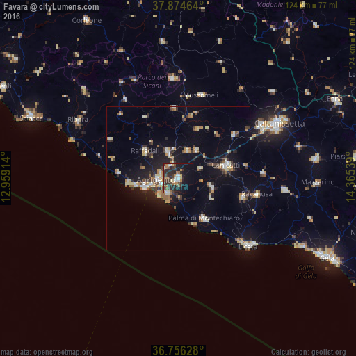
Analysis of Favara night lights 2016
Square area 10x10 km:
 3.73%
3.73%90-99
4.71%80-89
2.92%70-79
2.76%60-69
5.19%50-59
5.19%40-49
5.68%30-39
9.74%20-29
18.34%10-19
20.94%0-9
20.78%Square area 50x50 km:
1.15%90-99
1.19%80-89
1.91%70-79
1.08%60-69
1.42%50-59
1.43%40-49
0.94%30-39
2.6%20-29
2.53%10-19
8.5%0-9
77.25%Clear (daylight) street map image can be seen on geolist.org.
Map coordinates:
37° 52' 28.7" North, 12° 57' 32.9" East
37° 19' 3.1" North, 13° 39' 44.1" East
36° 45' 22.6" North, 14° 21' 55.4" East
Some cities around Favara sort by population:
• Agrigento
7.6 km =4.7 mi,  264°
264°
• Porto Empedocle
12.5 km =7.8 mi, 255°
• San Leone Mosè
9 km =5.6 mi,  229°
229°
• Aragona
9.8 km =6.1 mi,  337°
337°
• Naro
11.9 km =7.4 mi,  103°
103°
• Racalmuto
11.4 km =7.1 mi,  31°
31°
• Villaseta
9.4 km =5.8 mi, 257°
• Grotte
10.1 km =6.3 mi,  18°
18°
2524786 (p: 32,110)
Sources (retrieved 2019-11-25):
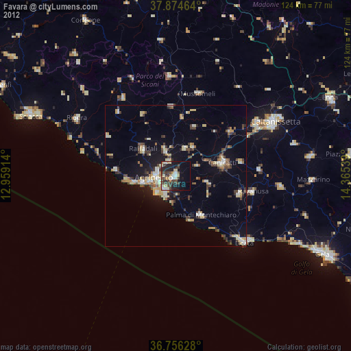
» Earth at Night: Flat Maps 2012, 2016