Camaiore night lights from space
Night Light of Camaiore (Tuscany) from space (Italy) Src. Average luminocity for 10x10km area is 33.6603% and for 50x50km: 19.8519%.
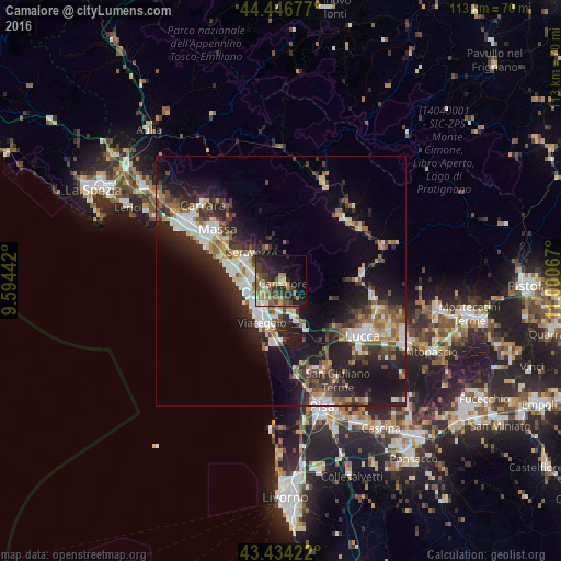
Analysis of Camaiore night lights 2016
Square area 10x10 km:
 1.27%
1.27%90-99
2.7%80-89
3.65%70-79
8.1%60-69
4.44%50-59
9.68%40-49
6.19%30-39
7.62%20-29
15.4%10-19
18.73%0-9
22.22%Square area 50x50 km:
2.75%90-99
3.74%80-89
1.77%70-79
2.07%60-69
2.24%50-59
3.08%40-49
3.15%30-39
3.62%20-29
7.42%10-19
13.96%0-9
56.18%Clear (daylight) street map image can be seen on geolist.org.
Map coordinates:
44° 26' 48.4" North, 9° 35' 39.9" East
43° 56' 33.5" North, 10° 17' 51.1" East
43° 26' 3.2" North, 11° 0' 2.4" East
Some cities around Camaiore sort by population:
• Viareggio
9.2 km =5.7 mi,  204°
204°
• Pietrasanta
5.9 km =3.7 mi,  288°
288°
• Torre del Lago Puccini
12.7 km =7.9 mi,  183°
183°
• Massarosa
9.3 km =5.8 mi,  156°
156°
• Montignoso
13.5 km =8.4 mi,  312°
312°
• Ripa-Pozzi-Querceta-Ponterosso
8.5 km =5.3 mi,  297°
297°
• Capanne-Prato-Cinquale
12.8 km =8 mi, 298°
• Forte dei Marmi
10.1 km =6.3 mi,  283°
283°
3181125 (p: 26,746)
Sources (retrieved 2019-11-25):
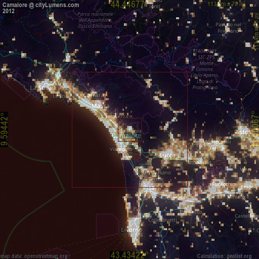
» Earth at Night: Flat Maps 2012, 2016