Brugherio night lights from space
Night Light of Brugherio (Lombardy) from space (Italy) Src. Average luminocity for 10x10km area is 97.7152% and for 50x50km: 75.5873%.
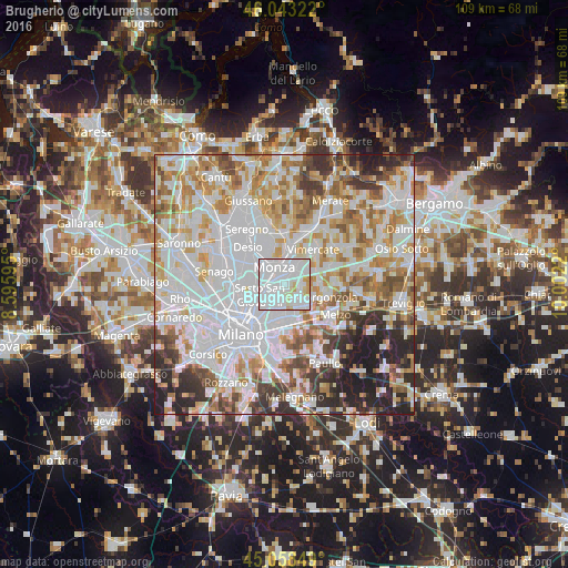
Analysis of Brugherio night lights 2016
Square area 10x10 km:
 64.09%
90-99
27.12%80-89
4.55%70-79
4.09%60-69
0.15%50-59
0%40-49
0%30-39
0%20-29
0%10-19
0%0-9
0%Square area 50x50 km:
28.91%90-99
19.1%80-89
7.25%70-79
8.9%60-69
8.77%50-59
6.09%40-49
5.18%30-39
5.41%20-29
7.18%10-19
3.22%0-9
0%Clear (daylight) street map image can be seen on geolist.org.
Map coordinates:
46° 2' 35.6" North, 8° 35' 45.4" East
45° 33' 10.8" North, 9° 17' 56.7" East
45° 3' 30.6" North, 10° 0' 7.9" East
Some cities around Brugherio sort by population:
• Monza
3.7 km =2.3 mi,  325°
325°
• Cologno Monzese
3 km =1.9 mi,  212°
212°
• Cernusco sul Naviglio
4.1 km =2.5 mi,  139°
139°
• Vimodrone
4.4 km =2.7 mi,  191°
191°
• Concorezzo
4.8 km =3 mi,  34°
34°
• Agrate Brianza
4.5 km =2.8 mi,  58°
58°
• Villasanta
6 km =3.7 mi,  6°
6°
• Carugate
3.2 km =2 mi,  96°
96°
3181495 (p: 33,061)
Sources (retrieved 2019-11-25):
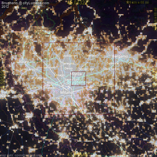
» Earth at Night: Flat Maps 2012, 2016