Yavatmāl night lights from space
Night Light of Yavatmāl (Maharashtra) from space (India) Src. Average luminocity for 10x10km area is 55.5246% and for 50x50km: 6.701%.
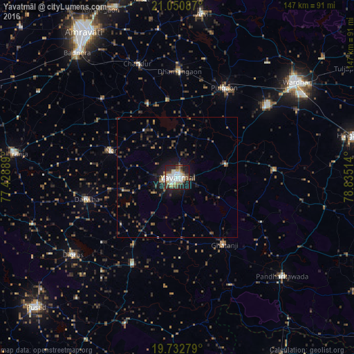
Analysis of Yavatmāl night lights 2016
Square area 10x10 km:
 14.39%
90-99
15.15%80-89
4.73%70-79
4.17%60-69
5.11%50-59
8.71%40-49
5.68%30-39
5.87%20-29
16.1%10-19
19.13%0-9
0.95%Square area 50x50 km:
0.67%90-99
0.76%80-89
0.34%70-79
0.44%60-69
0.8%50-59
1.46%40-49
1.36%30-39
1.49%20-29
2.56%10-19
4.51%0-9
85.61%Clear (daylight) street map image can be seen on geolist.org.
Map coordinates:
21° 3' 3.1" North, 77° 25' 44" East
20° 23' 35.7" North, 78° 7' 55.2" East
19° 43' 58" North, 78° 50' 6.5" East
Some cities around Yavatmāl sort by population:
• Wardha
61.9 km =38.5 mi,  51°
51°
• Digras
53.8 km =33.4 mi,  233°
233°
• Pulgaon
41.5 km =25.8 mi,  28°
28°
• Dārwha
38.6 km =24 mi,  256°
256°
• Dattāpur
43.1 km =26.8 mi,  1°
1°
• Ghātanji
33.8 km =21 mi,  145°
145°
• Chāndūr
49.4 km =30.7 mi,  341°
341°
• Deoli
46.1 km =28.6 mi, 51°
1252770 (p: 128,175)
Sources (retrieved 2019-11-25):
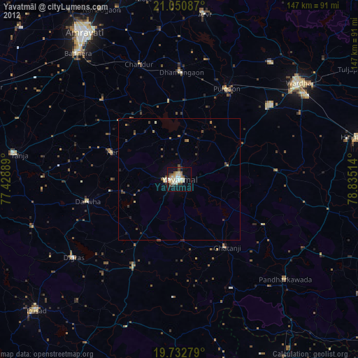
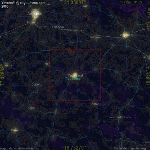
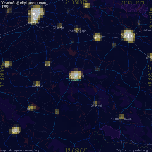
» NASA, Earths city lights 1995
» NASA city lights 2003
» Earth at Night: Flat Maps 2012, 2016