Wardha night lights from space
Night Light of Wardha (Maharashtra) from space (India) Src. Average luminocity for 10x10km area is 63.822% and for 50x50km: 7.0721%.
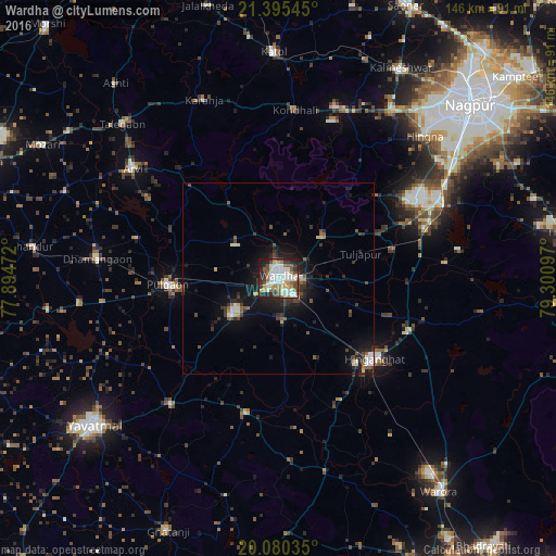
Analysis of Wardha night lights 2016
Square area 10x10 km:
 16.1%
16.1%90-99
17.99%80-89
7.01%70-79
6.63%60-69
5.3%50-59
7.39%40-49
10.04%30-39
8.71%20-29
13.26%10-19
7.58%0-9
0%Square area 50x50 km:
1.03%90-99
1.2%80-89
0.55%70-79
0.53%60-69
0.44%50-59
1.06%40-49
1.24%30-39
1.44%20-29
2.25%10-19
5.99%0-9
84.28%Clear (daylight) street map image can be seen on geolist.org.
Map coordinates:
21° 23' 43.6" North, 77° 53' 41" East
20° 44' 21.6" North, 78° 35' 52.2" East
20° 4' 49.3" North, 79° 18' 3.5" East
Some cities around Wardha sort by population:
• Hinganghāt
32.9 km =20.4 mi,  130°
130°
• Kātol
59.4 km =36.9 mi,  358°
358°
• Ārvi
47.8 km =29.7 mi,  306°
306°
• Pulgaon
28.9 km =18 mi,  266°
266°
• Dattāpur
47.8 km =29.7 mi,  275°
275°
• Deoli
15.8 km =9.8 mi,  230°
230°
• Sindi
31 km =19.3 mi,  76°
76°
• Sonegaon
15.7 km =9.8 mi,  141°
141°
1252942 (p: 113,759)
Sources (retrieved 2019-11-25):
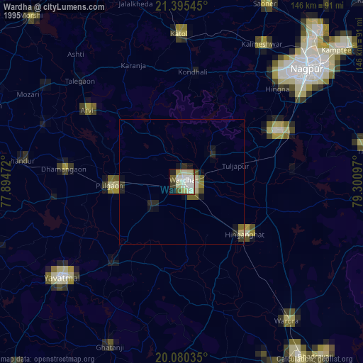
» NASA, Earths city lights 1995
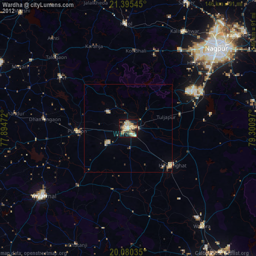
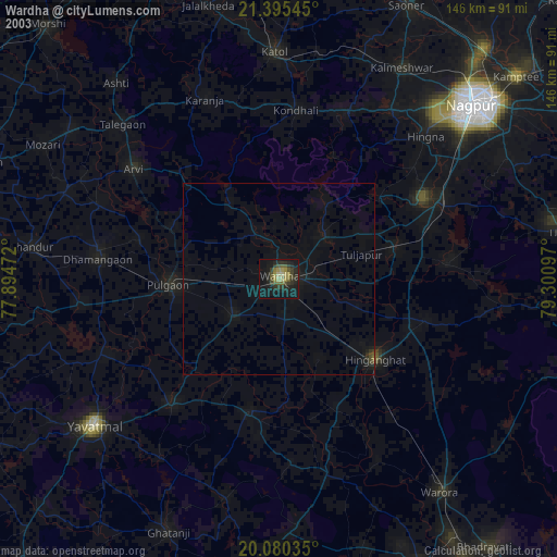
» NASA city lights 2003
» Earth at Night: Flat Maps 2012, 2016