Dattāpur night lights from space
Night Light of Dattāpur (Maharashtra) from space (India) Src. Average luminocity for 10x10km area is 11.7064% and for 50x50km: 5.009%.
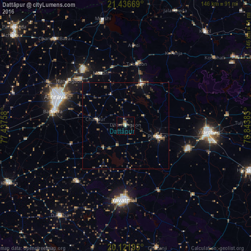
Analysis of Dattāpur night lights 2016
Square area 10x10 km:
 0.57%
0.57%90-99
2.27%80-89
0.19%70-79
1.52%60-69
0.76%50-59
2.65%40-49
0.76%30-39
3.22%20-29
4.92%10-19
3.6%0-9
79.55%Square area 50x50 km:
0.22%90-99
0.34%80-89
0.31%70-79
0.31%60-69
0.7%50-59
1.1%40-49
1.17%30-39
1.56%20-29
1.88%10-19
1.92%0-9
90.49%Clear (daylight) street map image can be seen on geolist.org.
Map coordinates:
21° 26' 12.1" North, 77° 26' 15.3" East
20° 46' 50.7" North, 78° 8' 26.5" East
20° 7' 19" North, 78° 50' 37.8" East
Some cities around Dattāpur sort by population:
• Amrāvati
44 km =27.3 mi,  292°
292°
• Yavatmāl
43.1 km =26.8 mi,  181°
181°
• Wardha
47.8 km =29.7 mi,  95°
95°
• Ārvi
25.6 km =15.9 mi,  21°
21°
• Pulgaon
19.8 km =12.3 mi,  109°
109°
• Chāndūr
17.1 km =10.6 mi,  282°
282°
• Deoli
38.2 km =23.7 mi, 112°
• Sonegaon
59.8 km =37.2 mi, 106°
1273397 (p: 21,763)
Sources (retrieved 2019-11-25):
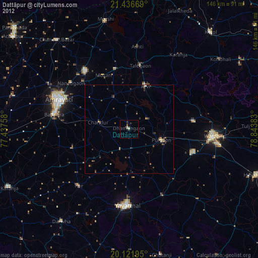
» Earth at Night: Flat Maps 2012, 2016