Warangal night lights from space
Night Light of Warangal (Telangana) from space (India) Src. Average luminocity for 10x10km area is 86.4069% and for 50x50km: 17.8771%.
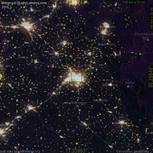
Analysis of Warangal night lights 2016
Square area 10x10 km:
 31.17%
90-99
34.2%80-89
7.36%70-79
5.41%60-69
9.31%50-59
4.55%40-49
4.11%30-39
3.46%20-29
0.43%10-19
0%0-9
0%Square area 50x50 km:
1.91%90-99
2.75%80-89
1.43%70-79
1.57%60-69
2.3%50-59
3.16%40-49
3.2%30-39
5.11%20-29
4.83%10-19
10.02%0-9
63.73%Clear (daylight) street map image can be seen on geolist.org.
Map coordinates:
18° 40' 2.7" North, 78° 52' 48.8" East
18° 0' 0" North, 79° 34' 60" East
17° 19' 48.1" North, 80° 17' 11.3" East
Some cities around Warangal sort by population:
• Ramagundam
84.7 km =52.6 mi,  352°
352°
• Karīmnagar
68.5 km =42.6 mi,  315°
315°
• Siddipet
78.5 km =48.8 mi,  278°
278°
• Jangaon
54.8 km =34.1 mi,  236°
236°
• Mahbūbābād
63 km =39.1 mi,  135°
135°
• Peddapalli
71.7 km =44.6 mi,  342°
342°
• Manthani
72.9 km =45.3 mi,  6°
6°
• Kottapalli
75.5 km =46.9 mi, 316°
1252948 (p: 557,802)
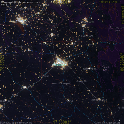
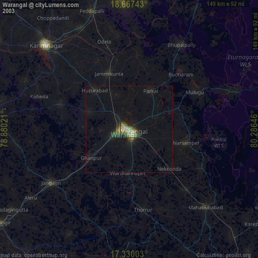
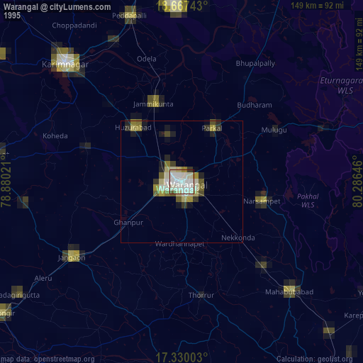
Sources (retrieved 2019-11-25):
» NASA, Earths city lights 1995
» NASA city lights 2003
» Earth at Night: Flat Maps 2012, 2016