Tiruvottiyūr night lights from space
Night Light of Tiruvottiyūr (Tamil Nadu) from space (India) Src. Average luminocity for 10x10km area is 76.987% and for 50x50km: 43.6698%.
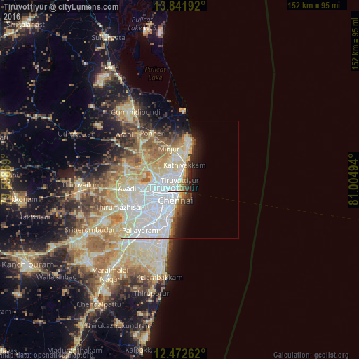
Analysis of Tiruvottiyūr night lights 2016
Square area 10x10 km:
 34.42%
90-99
19.26%80-89
9.09%70-79
4.11%60-69
4.11%50-59
6.28%40-49
5.63%30-39
6.49%20-29
9.52%10-19
1.08%0-9
0%Square area 50x50 km:
14.15%90-99
10.57%80-89
8.91%70-79
2.87%60-69
3.57%50-59
5.24%40-49
3.55%30-39
3.19%20-29
3.72%10-19
4.9%0-9
39.34%Clear (daylight) street map image can be seen on geolist.org.
Map coordinates:
13° 50' 30.9" North, 79° 35' 55.3" East
13° 9' 29.6" North, 80° 18' 6.5" East
12° 28' 21.4" North, 81° 0' 17.8" East
Some cities around Tiruvottiyūr sort by population:
• Chennai
8.2 km =5.1 mi,  197°
197°
• Ambattūr
16.6 km =10.3 mi,  246°
246°
• Kattivākkam
6.7 km =4.2 mi,  13°
13°
• Manali
3.9 km =2.4 mi,  283°
283°
• Mīnjūr
14.3 km =8.9 mi,  340°
340°
• Nāravārikuppam
13.2 km =8.2 mi,  286°
286°
• Chetput
11.8 km =7.3 mi,  213°
213°
• Chinnasekkadu
4.8 km =3 mi,  273°
273°
1254320 (p: 248,059)
Sources (retrieved 2019-11-25):
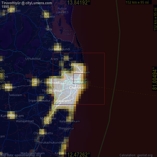
» NASA, Earths city lights 1995
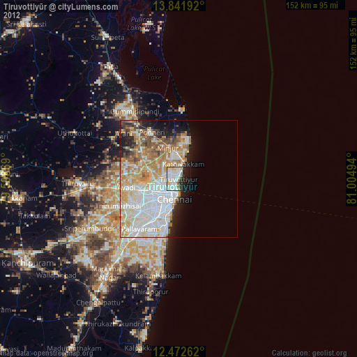
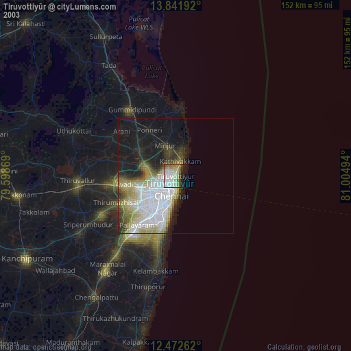
» NASA city lights 2003
» Earth at Night: Flat Maps 2012, 2016