Manali night lights from space
Night Light of Manali (Tamil Nadu) from space (India) Src. Average luminocity for 10x10km area is 95.5844% and for 50x50km: 47.9219%.
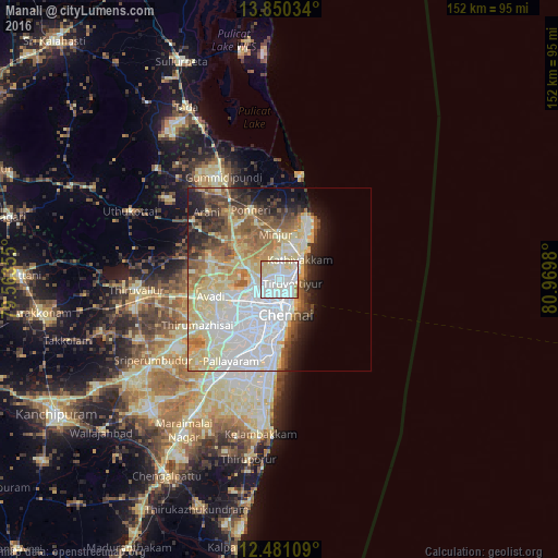
Analysis of Manali night lights 2016
Square area 10x10 km:
 46.54%
90-99
33.33%80-89
17.32%70-79
1.95%60-69
0.87%50-59
0%40-49
0%30-39
0%20-29
0%10-19
0%0-9
0%Square area 50x50 km:
13.89%90-99
11.06%80-89
10.86%70-79
3.81%60-69
4.51%50-59
5.93%40-49
3.92%30-39
3.72%20-29
4.63%10-19
6.01%0-9
31.65%Clear (daylight) street map image can be seen on geolist.org.
Map coordinates:
13° 51' 1.2" North, 79° 33' 48.8" East
13° 10' 0" North, 80° 16' 0" East
12° 28' 51.9" North, 80° 58' 11.3" East
Some cities around Manali sort by population:
• Chennai
8.9 km =5.5 mi,  171°
171°
• Ambattūr
13.7 km =8.5 mi,  236°
236°
• Tiruvottiyūr
3.9 km =2.4 mi,  103°
103°
• Kattivākkam
7.8 km =4.8 mi,  44°
44°
• Mīnjūr
12.6 km =7.8 mi,  355°
355°
• Nāravārikuppam
9.3 km =5.8 mi,  287°
287°
• Chetput
11.1 km =6.9 mi,  194°
194°
• Chinnasekkadu
1.2 km =0.7 mi, 237°
1263968 (p: 32,363)
Sources (retrieved 2019-11-25):
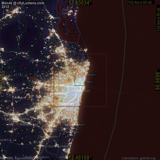
» Earth at Night: Flat Maps 2012, 2016