Thenkasi night lights from space
Night Light of Thenkasi (Tamil Nadu) from space (India) Src. Average luminocity for 10x10km area is 30.4978% and for 50x50km: 7.2861%.
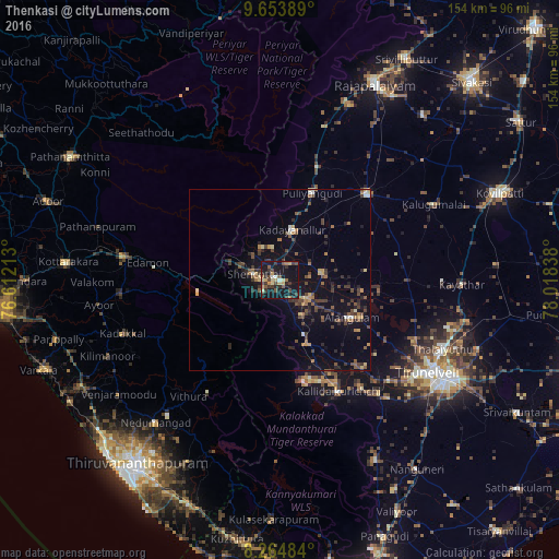
Analysis of Thenkasi night lights 2016
Square area 10x10 km:
 0.43%
0.43%90-99
3.25%80-89
3.9%70-79
5.41%60-69
2.81%50-59
3.25%40-49
9.09%30-39
11.04%20-29
5.63%10-19
48.05%0-9
7.14%Square area 50x50 km:
0.15%90-99
0.5%80-89
0.66%70-79
0.9%60-69
0.91%50-59
1.14%40-49
2.12%30-39
1.9%20-29
1.87%10-19
5.74%0-9
84.1%Clear (daylight) street map image can be seen on geolist.org.
Map coordinates:
9° 39' 14" North, 76° 36' 43.7" East
8° 57' 36.1" North, 77° 18' 54.9" East
8° 15' 53.4" North, 78° 1' 6.2" East
Some cities around Thenkasi sort by population:
• Kadayanallur
12.9 km =8 mi,  12°
12°
• Puliyangudi
25.6 km =15.9 mi,  20°
20°
• Ambasamudram
31.5 km =19.6 mi,  151°
151°
• Sūrandai
11.6 km =7.2 mi,  81°
81°
• Ālangulam
22.9 km =14.2 mi,  117°
117°
• Kallidaikurichi
34.7 km =21.6 mi, 151°
• Vadakku Viravanallur
36.8 km =22.9 mi,  142°
142°
• Vāsudevanallūr
33.1 km =20.6 mi, 18°
1254744 (p: 65,496)
Sources (retrieved 2019-11-25):
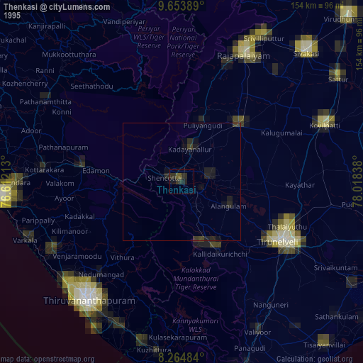
» NASA, Earths city lights 1995
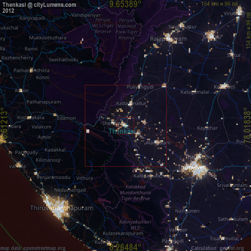
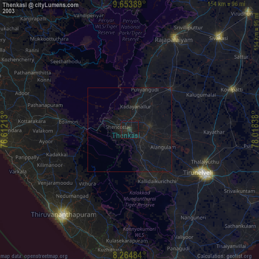
» NASA city lights 2003
» Earth at Night: Flat Maps 2012, 2016