Kallidaikurichi night lights from space
Night Light of Kallidaikurichi (Tamil Nadu) from space (India) Src. Average luminocity for 10x10km area is 21.1343% and for 50x50km: 9.4058%.
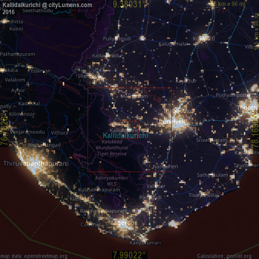
Analysis of Kallidaikurichi night lights 2016
Square area 10x10 km:
 0.41%
0.41%90-99
1.24%80-89
0%70-79
4.13%60-69
6.2%50-59
1.86%40-49
5.99%30-39
5.79%20-29
4.34%10-19
28.1%0-9
41.94%Square area 50x50 km:
0.29%90-99
0.66%80-89
0.9%70-79
1.04%60-69
1.24%50-59
2.03%40-49
2.65%30-39
2.23%20-29
3.02%10-19
7.17%0-9
78.75%Clear (daylight) street map image can be seen on geolist.org.
Map coordinates:
9° 22' 49.1" North, 76° 45' 46.1" East
8° 41' 9.3" North, 77° 27' 57.3" East
7° 59' 24.8" North, 78° 10' 8.6" East
Some cities around Kallidaikurichi sort by population:
• Tirunelveli
24.4 km =15.2 mi,  79°
79°
• Thenkasi
34.7 km =21.6 mi,  331°
331°
• Ambasamudram
3.2 km =2 mi, 330°
• Sūrandai
32.6 km =20.3 mi,  350°
350°
• Ālangulam
20.1 km =12.5 mi,  10°
10°
• Kalakkādu
21.2 km =13.2 mi,  154°
154°
• Vadakku Viravanallur
6 km =3.7 mi, 77°
• Nanguneri
30.1 km =18.7 mi,  135°
135°
1268360 (p: 25,513)
Sources (retrieved 2019-11-25):
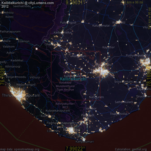
» Earth at Night: Flat Maps 2012, 2016