Soro night lights from space
Night Light of Soro (Odisha) from space (India) Src. Average luminocity for 10x10km area is 19.5227% and for 50x50km: 8.7973%.
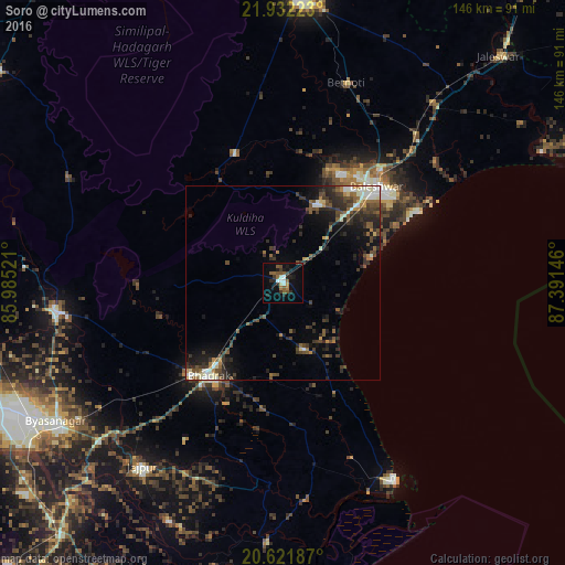
Analysis of Soro night lights 2016
Square area 10x10 km:
 1.7%
1.7%90-99
2.84%80-89
0.76%70-79
0.76%60-69
2.65%50-59
6.25%40-49
2.84%30-39
2.84%20-29
6.44%10-19
10.8%0-9
62.12%Square area 50x50 km:
0.6%90-99
1.67%80-89
0.5%70-79
0.55%60-69
1%50-59
1.84%40-49
1.98%30-39
2.33%20-29
3.32%10-19
4.75%0-9
81.47%Clear (daylight) street map image can be seen on geolist.org.
Map coordinates:
21° 55' 56" North, 85° 59' 6.8" East
21° 16' 42.6" North, 86° 41' 18" East
20° 37' 18.7" North, 87° 23' 29.3" East
Some cities around Soro sort by population:
• Balasore
34.8 km =21.6 mi,  46°
46°
• Bhadrakh
30.7 km =19.1 mi,  215°
215°
• Jājpur
60.1 km =37.3 mi, 217°
• Patāmundai
79 km =49.1 mi,  189°
189°
• Bāsudebpur
18.1 km =11.2 mi,  166°
166°
• Remuna
33.6 km =20.9 mi,  34°
34°
• Nīlgiri
22 km =13.7 mi,  21°
21°
• Chāndbāli
56.2 km =34.9 mi, 174°
1255705 (p: 29,797)
Sources (retrieved 2019-11-25):
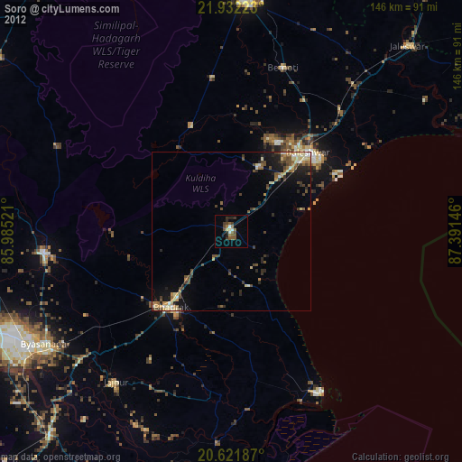
» Earth at Night: Flat Maps 2012, 2016