Bāsudebpur night lights from space
Night Light of Bāsudebpur (Odisha) from space (India) Src. Average luminocity for 10x10km area is 10.9425% and for 50x50km: 5.1209%.
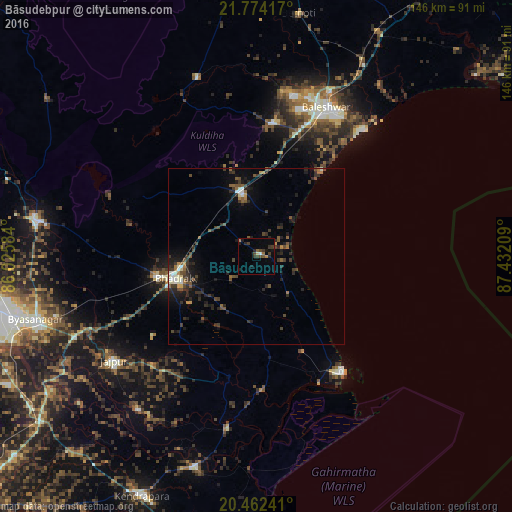
Analysis of Bāsudebpur night lights 2016
Square area 10x10 km:
 0.6%
0.6%90-99
0.2%80-89
0.79%70-79
0.79%60-69
1.79%50-59
1.39%40-49
3.37%30-39
4.56%20-29
2.38%10-19
4.96%0-9
79.17%Square area 50x50 km:
0.17%90-99
0.66%80-89
0.19%70-79
0.37%60-69
0.54%50-59
1.08%40-49
1.18%30-39
1.57%20-29
2.15%10-19
3.37%0-9
88.71%Clear (daylight) street map image can be seen on geolist.org.
Map coordinates:
21° 46' 27" North, 86° 1' 33" East
21° 7' 11.1" North, 86° 43' 44.3" East
20° 27' 44.7" North, 87° 25' 55.5" East
Some cities around Bāsudebpur sort by population:
• Balasore
46.6 km =29 mi,  27°
27°
• Bhadrakh
23.3 km =14.5 mi,  251°
251°
• Jājpur
50.6 km =31.4 mi,  233°
233°
• Patāmundai
62.7 km =39 mi,  196°
196°
• Remuna
47.7 km =29.6 mi,  18°
18°
• Soro
18.1 km =11.2 mi,  346°
346°
• Nīlgiri
38.3 km =23.8 mi,  6°
6°
• Chāndbāli
38.3 km =23.8 mi,  178°
178°
1276731 (p: 31,827)
Sources (retrieved 2019-11-25):
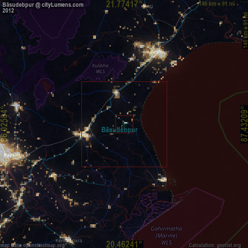
» Earth at Night: Flat Maps 2012, 2016