Balasore night lights from space
Night Light of Balasore (Odisha) from space (India) Src. Average luminocity for 10x10km area is 69.7216% and for 50x50km: 12.7054%.
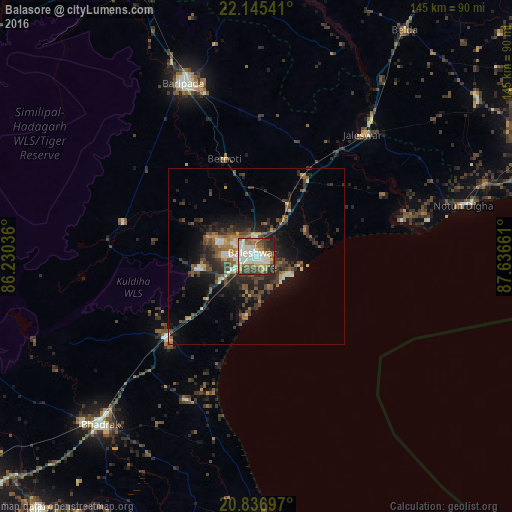
Analysis of Balasore night lights 2016
Square area 10x10 km:
 11.17%
90-99
26.7%80-89
8.14%70-79
6.44%60-69
9.28%50-59
9.09%40-49
11.93%30-39
7.95%20-29
8.52%10-19
0.76%0-9
0%Square area 50x50 km:
0.86%90-99
2.12%80-89
0.98%70-79
1.17%60-69
1.63%50-59
2.43%40-49
3.26%30-39
2.79%20-29
5.26%10-19
6.97%0-9
72.53%Clear (daylight) street map image can be seen on geolist.org.
Map coordinates:
22° 8' 43.5" North, 86° 13' 49.3" East
21° 29' 33.6" North, 86° 56' 0.5" East
20° 50' 13.1" North, 87° 38' 11.8" East
Some cities around Balasore sort by population:
• Bhadrakh
65.2 km =40.5 mi,  221°
221°
• Egra
77.1 km =47.9 mi,  54°
54°
• Bāsudebpur
46.6 km =29 mi,  207°
207°
• Remuna
7.5 km =4.7 mi,  301°
301°
• Soro
34.8 km =21.6 mi,  226°
226°
• Jaleshwar
45.5 km =28.3 mi,  40°
40°
• Nīlgiri
17.5 km =10.9 mi,  258°
258°
• Chāndbāli
82.2 km =51.1 mi,  194°
194°
1277599 (p: 114,321)
Sources (retrieved 2019-11-25):
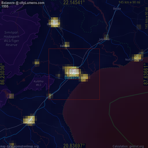
» NASA, Earths city lights 1995
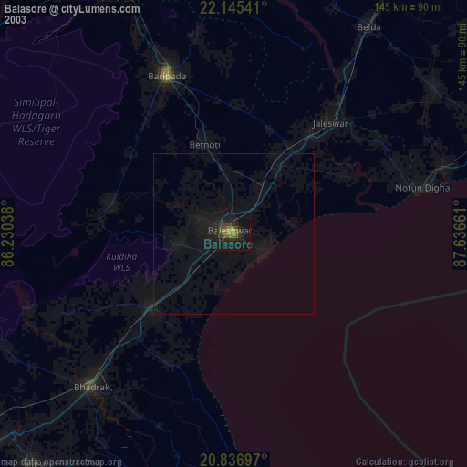
» NASA city lights 2003
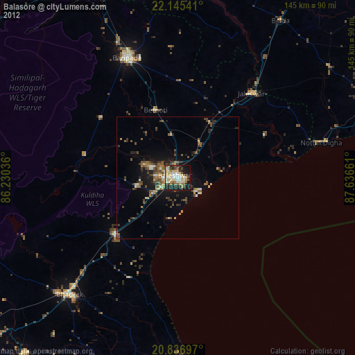
» Earth at Night: Flat Maps 2012, 2016