Hāngal night lights from space
Night Light of Hāngal (Karnataka) from space (India) Src. Average luminocity for 10x10km area is 13.9711% and for 50x50km: 2.7062%.
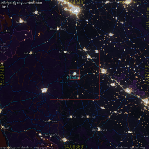
Analysis of Hāngal night lights 2016
Square area 10x10 km:
 2.07%
2.07%90-99
4.13%80-89
1.24%70-79
1.03%60-69
1.45%50-59
1.65%40-49
0.83%30-39
1.65%20-29
0%10-19
1.65%0-9
84.3%Square area 50x50 km:
0.17%90-99
0.51%80-89
0.34%70-79
0.14%60-69
0.33%50-59
0.36%40-49
0.54%30-39
0.37%20-29
0.42%10-19
0.6%0-9
96.21%Clear (daylight) street map image can be seen on geolist.org.
Map coordinates:
15° 26' 36.5" North, 74° 25' 17.3" East
14° 45' 52.7" North, 75° 7' 28.6" East
14° 5' 1.3" North, 75° 49' 39.8" East
Some cities around Hāngal sort by population:
• Sirsi
35 km =21.7 mi,  242°
242°
• Hāveri
30.3 km =18.8 mi,  83°
83°
• Savanūr
32.6 km =20.3 mi,  44°
44°
• Byādgi
40.3 km =25 mi,  104°
104°
• Shiggaon
27.3 km =17 mi,  23°
23°
• Mundgod
24.9 km =15.5 mi,  337°
337°
• Hirekerūr
45.1 km =28 mi,  139°
139°
• Sorab
42.8 km =26.6 mi,  184°
184°
1270435 (p: 26,604)
Sources (retrieved 2019-11-25):
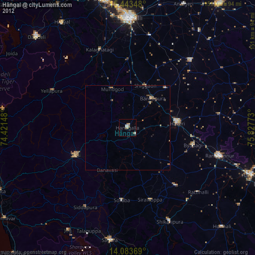
» Earth at Night: Flat Maps 2012, 2016