Shāhābād night lights from space
Night Light of Shāhābād (Karnataka) from space (India) Src. Average luminocity for 10x10km area is 41.1905% and for 50x50km: 14.905%.
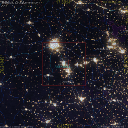
Analysis of Shāhābād night lights 2016
Square area 10x10 km:
 8.66%
8.66%90-99
6.93%80-89
4.76%70-79
2.6%60-69
3.03%50-59
4.76%40-49
4.98%30-39
11.04%20-29
17.32%10-19
33.55%0-9
2.38%Square area 50x50 km:
2.49%90-99
2.21%80-89
1.33%70-79
1.05%60-69
1.55%50-59
2.25%40-49
2.16%30-39
3.37%20-29
4.56%10-19
11.32%0-9
67.71%Clear (daylight) street map image can be seen on geolist.org.
Map coordinates:
17° 48' 5" North, 76° 14' 25.8" East
17° 7' 50.5" North, 76° 56' 37" East
16° 27' 27.3" North, 77° 38' 48.3" East
Some cities around Shāhābād sort by population:
• Gulbarga
25.4 km =15.8 mi,  333°
333°
• Yādgīr
45.1 km =28 mi,  152°
152°
• Seram
37.2 km =23.1 mi,  81°
81°
• Shāhpur
49.5 km =30.8 mi,  192°
192°
• Wādi
10.1 km =6.3 mi, 150°
• Chītāpur
14.8 km =9.2 mi,  93°
93°
• Jevargi
22.3 km =13.9 mi,  234°
234°
• Kurgunta
44.5 km =27.7 mi, 81°
1256759 (p: 52,952)
Sources (retrieved 2019-11-25):
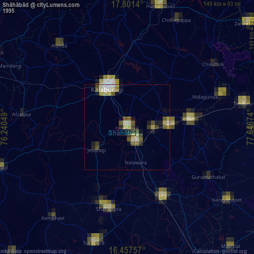
» NASA, Earths city lights 1995
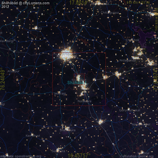
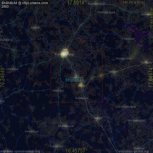
» NASA city lights 2003
» Earth at Night: Flat Maps 2012, 2016