Sāngola night lights from space
Night Light of Sāngola (Maharashtra) from space (India) Src. Average luminocity for 10x10km area is 36.6343% and for 50x50km: 23.005%.
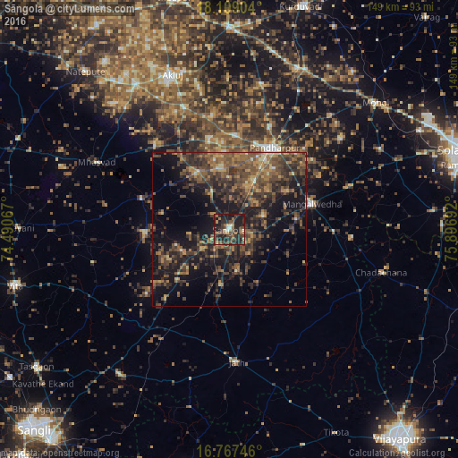
Analysis of Sāngola night lights 2016
Square area 10x10 km:
 0.21%
0.21%90-99
3.1%80-89
2.89%70-79
2.69%60-69
7.64%50-59
8.06%40-49
12.6%30-39
12.81%20-29
24.38%10-19
25.62%0-9
0%Square area 50x50 km:
0.18%90-99
0.71%80-89
1.71%70-79
2.65%60-69
4.56%50-59
6.71%40-49
7.92%30-39
7.78%20-29
9.49%10-19
18.23%0-9
40.07%Clear (daylight) street map image can be seen on geolist.org.
Map coordinates:
18° 6' 32.5" North, 74° 29' 26.4" East
17° 26' 22.1" North, 75° 11' 37.6" East
16° 46' 2.9" North, 75° 53' 48.9" East
Some cities around Sāngola sort by population:
• Solāpur
80.2 km =49.8 mi,  71°
71°
• Pandharpur
30.4 km =18.9 mi,  28°
28°
• Vite
72 km =44.7 mi,  255°
255°
• Athni
80.5 km =50 mi,  189°
189°
• Tāsgaon
77.2 km =48 mi,  234°
234°
• Indi
85.7 km =53.3 mi,  109°
109°
• Kurduvādi
76.4 km =47.5 mi,  17°
17°
• Mhāsvād
48.2 km =30 mi,  296°
296°
1257409 (p: 31,279)
Sources (retrieved 2019-11-25):
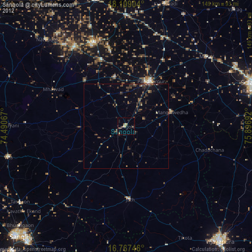
» Earth at Night: Flat Maps 2012, 2016