Sancoale night lights from space
Night Light of Sancoale (Goa) from space (India) Src. Average luminocity for 10x10km area is 67.5065% and for 50x50km: 37.6654%.
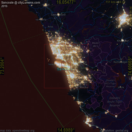
Analysis of Sancoale night lights 2016
Square area 10x10 km:
100  9.52%
9.52%
90-99 16.02%
80-89 7.14%
70-79 10.82%
60-69 18.83%
50-59 14.29%
40-49 12.55%
30-39 5.63%
20-29 5.19%
10-19 0%
0-9 0%
9.52%90-99
16.02%80-89
7.14%70-79
10.82%60-69
18.83%50-59
14.29%40-49
12.55%30-39
5.63%20-29
5.19%10-19
0%0-9
0%Square area 50x50 km:
100 4.07%
90-99 8.13%
80-89 5.19%
70-79 4.68%
60-69 7.01%
50-59 9.6%
40-49 6.87%
30-39 4.36%
20-29 6.69%
10-19 10.51%
0-9 32.89%
4.07%90-99
8.13%80-89
5.19%70-79
4.68%60-69
7.01%50-59
9.6%40-49
6.87%30-39
4.36%20-29
6.69%10-19
10.51%0-9
32.89%Clear (daylight) street map image can be seen on geolist.org.
Map coordinates:
16° 3' 17.2" North, 73° 12' 1.4" East
15° 22' 40.6" North, 73° 54' 12.7" East
14° 41' 56" North, 74° 36' 23.9" East
Some cities around Sancoale sort by population:
• Mormugao
9.6 km =6 mi,  277°
277°
• Vasco da Gama
9.6 km =6 mi, 281°
• Bandora
9 km =5.6 mi,  68°
68°
• Raia
10.9 km =6.8 mi,  138°
138°
• Chicalim
7 km =4.3 mi,  289°
289°
• Cortalim
2.8 km =1.7 mi,  11°
11°
• Queula
8.9 km =5.5 mi,  81°
81°
• Goa Velha
7.6 km =4.7 mi,  345°
345°
1257476 (p: 16,311)
Sources (retrieved 2019-11-25):
» Earth at Night: Flat Maps 2012, 2016