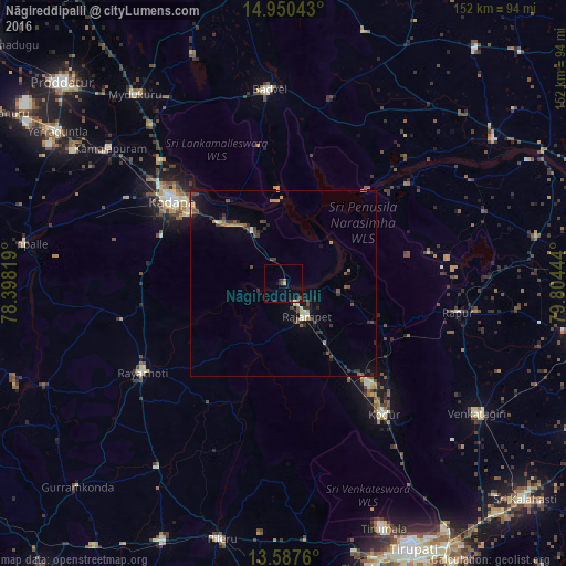
Nāgireddipalli night lights from space
Night Light of Nāgireddipalli (Andhra Pradesh) from space (India) Src. Average luminocity for 10x10km area is 4.1558% and for 50x50km: 2.9771%.
Analysis of Nāgireddipalli night lights 2016
Square area 10x10 km:
 0%
0%90-99
0%80-89
0%70-79
1.3%60-69
0%50-59
0.87%40-49
0.43%30-39
2.38%20-29
1.52%10-19
1.08%0-9
92.42%Square area 50x50 km:
0%90-99
0.33%80-89
0.15%70-79
0.36%60-69
0.44%50-59
0.51%40-49
0.84%30-39
0.59%20-29
0.99%10-19
1.71%0-9
94.08%Clear (daylight) street map image can be seen on geolist.org.
Map coordinates:
14° 57' 1.5" North, 78° 23' 53.5" East
14° 16' 12.2" North, 79° 6' 4.7" East
13° 35' 15.4" North, 79° 48' 16" East
Some cities around Nāgireddipalli sort by population:
• Cuddapah
38 km =23.6 mi,  307°
307°
• Rāyachoti
44.6 km =27.7 mi,  237°
237°
• Chinnachowk
36.6 km =22.7 mi, 308°
• Venkatagiri
62.1 km =38.6 mi,  123°
123°
• Rāzampeta
10.4 km =6.5 mi,  143°
143°
• Tirumala
70.5 km =43.8 mi,  157°
157°
• Badvel
53 km =32.9 mi,  355°
355°
• Kāmalāpuram
59.1 km =36.7 mi, 308°
1262196 (p: 10,392)
Sources (retrieved 2019-11-25):
» Earth at Night: Flat Maps 2012, 2016