Rangia night lights from space
Night Light of Rangia (Assam) from space (India) Src. Average luminocity for 10x10km area is 17.6667% and for 50x50km: 4.6841%.
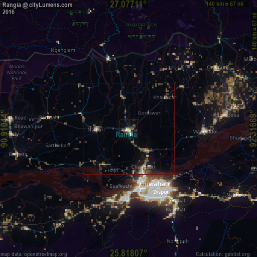
Analysis of Rangia night lights 2016
Square area 10x10 km:
 1.7%
1.7%90-99
2.46%80-89
2.65%70-79
0.19%60-69
3.22%50-59
3.41%40-49
4.17%30-39
2.46%20-29
1.7%10-19
6.63%0-9
71.4%Square area 50x50 km:
0.17%90-99
0.44%80-89
0.29%70-79
0.27%60-69
0.52%50-59
1.02%40-49
1.53%30-39
1.17%20-29
1.66%10-19
3.33%0-9
89.61%Clear (daylight) street map image can be seen on geolist.org.
Map coordinates:
27° 4' 37.6" North, 90° 54' 37.6" East
26° 26' 57.5" North, 91° 36' 48.8" East
25° 49' 5.1" North, 92° 19' 0.1" East
Some cities around Rangia sort by population:
• Guwahati
32.3 km =20.1 mi,  155°
155°
• Mangaldai
41.5 km =25.8 mi,  91°
91°
• Khārupatia
53.7 km =33.4 mi,  81°
81°
• North Guwāhāti
29.9 km =18.6 mi, 159°
• Hājo
24.3 km =15.1 mi,  201°
201°
• Soalkuchi
31.6 km =19.6 mi,  187°
187°
• Dispur
39.6 km =24.6 mi,  151°
151°
• Samdrup Jongkhar, BT
40.5 km =25.2 mi,  344°
344°
1258492 (p: 26,388)
Sources (retrieved 2019-11-25):
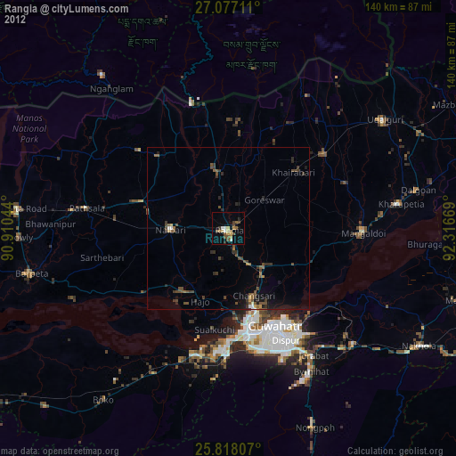
» Earth at Night: Flat Maps 2012, 2016