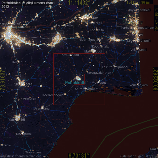
Pattukkottai night lights from space
Night Light of Pattukkottai (Tamil Nadu) from space (India) Src. Average luminocity for 10x10km area is 18.719% and for 50x50km: 1.715%.

Analysis of Pattukkottai night lights 2016
Square area 10x10 km:
 1.03%
1.03%90-99
1.86%80-89
2.89%70-79
3.31%60-69
1.45%50-59
2.48%40-49
3.31%30-39
5.58%20-29
4.96%10-19
4.55%0-9
68.6%Square area 50x50 km:
0.04%90-99
0.14%80-89
0.24%70-79
0.19%60-69
0.15%50-59
0.24%40-49
0.35%30-39
0.63%20-29
0.6%10-19
0.61%0-9
96.82%Clear (daylight) street map image can be seen on geolist.org.
Map coordinates:
11° 6' 51.6" North, 78° 36' 58.9" East
10° 25' 24.9" North, 79° 19' 10.2" East
9° 43' 52.7" North, 80° 1' 21.4" East
Some cities around Pattukkottai sort by population:
• Mannargudi
30.6 km =19 mi,  27°
27°
• Adirampattinam
11.3 km =7 mi,  144°
144°
• Koothanallur
39.3 km =24.4 mi, 33°
• Peravurani
19.6 km =12.2 mi,  221°
221°
• Muttupet
19.3 km =12 mi,  99°
99°
• Madukkūr
10.8 km =6.7 mi,  53°
53°
• Karambakkudi
19.9 km =12.4 mi,  281°
281°
• Ālangudi
37.3 km =23.2 mi,  259°
259°
1260040 (p: 67,982)
Sources (retrieved 2019-11-25):
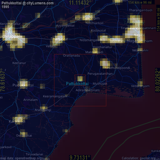
» NASA, Earths city lights 1995
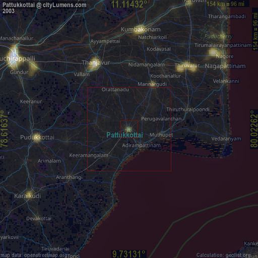
» NASA city lights 2003
» Earth at Night: Flat Maps 2012, 2016