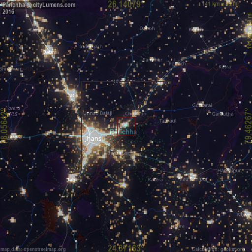
Pārīchha night lights from space
Night Light of Pārīchha (Uttar Pradesh) from space (India) Src. Average luminocity for 10x10km area is 30.5675% and for 50x50km: 20.6444%.
Analysis of Pārīchha night lights 2016
Square area 10x10 km:
 2.18%
2.18%90-99
7.34%80-89
0.79%70-79
2.58%60-69
4.56%50-59
5.16%40-49
6.75%30-39
7.34%20-29
5.36%10-19
37.5%0-9
20.44%Square area 50x50 km:
2.8%90-99
4.71%80-89
1.62%70-79
1.4%60-69
2.58%50-59
3.69%40-49
3.76%30-39
4.01%20-29
4.76%10-19
11.49%0-9
59.19%Clear (daylight) street map image can be seen on geolist.org.
Map coordinates:
26° 8' 26.8" North, 78° 3' 23.1" East
25° 30' 28.4" North, 78° 45' 34.3" East
24° 52' 17.9" North, 79° 27' 45.6" East
Some cities around Pārīchha sort by population:
• Jhānsi
18.8 km =11.7 mi,  253°
253°
• Datia
35.3 km =21.9 mi,  301°
301°
• Bhānder
25.4 km =15.8 mi,  356°
356°
• Chirgaon
9 km =5.6 mi,  37°
37°
• Moth
30.9 km =19.2 mi, 38°
• Khailār
29.5 km =18.3 mi,  231°
231°
• Barāgaon
6 km =3.7 mi, 232°
• Orchha
21.1 km =13.1 mi,  214°
214°
1260314 (p: 7,399)
Sources (retrieved 2019-11-25):
» Earth at Night: Flat Maps 2012, 2016