Panamaram night lights from space
Night Light of Panamaram (Kerala) from space (India) Src. Average luminocity for 10x10km area is 0% and for 50x50km: 0.0649%.
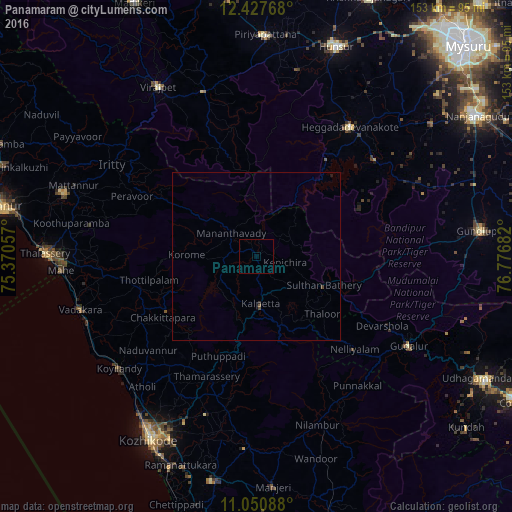
Analysis of Panamaram night lights 2016
Square area 10x10 km:
 0%
0%90-99
0%80-89
0%70-79
0%60-69
0%50-59
0%40-49
0%30-39
0%20-29
0%10-19
0%0-9
100%Square area 50x50 km:
0%90-99
0%80-89
0%70-79
0%60-69
0%50-59
0.03%40-49
0.06%30-39
0.01%20-29
0.03%10-19
0.03%0-9
99.83%Clear (daylight) street map image can be seen on geolist.org.
Map coordinates:
12° 25' 39.6" North, 75° 22' 14.1" East
11° 44' 24.5" North, 76° 4' 25.3" East
11° 3' 3.2" North, 76° 46' 36.6" East
Some cities around Panamaram sort by population:
• Nādāpuram
46 km =28.6 mi,  262°
262°
• Kalpatta
14.7 km =9.1 mi,  175°
175°
• Naduvannūr
43 km =26.7 mi,  229°
229°
• Heggadadevankote
47.7 km =29.6 mi,  35°
35°
• Perya
26.1 km =16.2 mi,  293°
293°
• Sargūr
45.4 km =28.2 mi,  50°
50°
• Kannavam
46.2 km =28.7 mi,  284°
284°
• Ponnampet
47.1 km =29.3 mi,  342°
342°
1260606 (p: 11,651)
Sources (retrieved 2019-11-25):
» Earth at Night: Flat Maps 2012, 2016