Panaji night lights from space
Night Light of Panaji (Goa) from space (India) Src. Average luminocity for 10x10km area is 87.0216% and for 50x50km: 35.6605%.
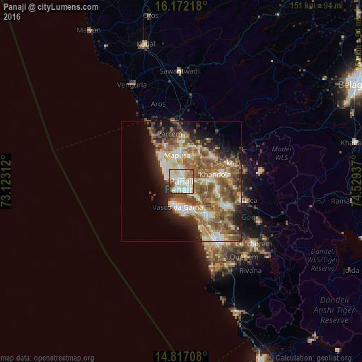
Analysis of Panaji night lights 2016
Square area 10x10 km:
 26.84%
90-99
38.96%80-89
8.01%70-79
6.06%60-69
11.47%50-59
3.46%40-49
1.52%30-39
2.81%20-29
0.87%10-19
0%0-9
0%Square area 50x50 km:
3.97%90-99
8.05%80-89
5.25%70-79
3.91%60-69
7.23%50-59
8.79%40-49
6.45%30-39
4%20-29
5.83%10-19
7.9%0-9
38.63%Clear (daylight) street map image can be seen on geolist.org.
Map coordinates:
16° 10' 19.8" North, 73° 7' 23.2" East
15° 29' 44.7" North, 73° 49' 34.5" East
14° 49' 1.5" North, 74° 31' 45.7" East
Some cities around Panaji sort by population:
• Calangute
9.3 km =5.8 mi,  305°
305°
• Taleigao
3 km =1.9 mi,  166°
166°
• Serula
6.1 km =3.8 mi,  17°
17°
• Candolim
7.3 km =4.5 mi,  290°
290°
• Guirim
9.1 km =5.7 mi,  347°
347°
• Saligao
7.5 km =4.7 mi,  329°
329°
• Goa Velha
8.6 km =5.3 mi,  132°
132°
• Bambolim
4.6 km =2.9 mi,  141°
141°
1260607 (p: 65,586)
Sources (retrieved 2019-11-25):
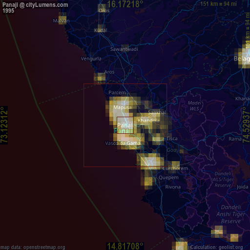
» NASA, Earths city lights 1995
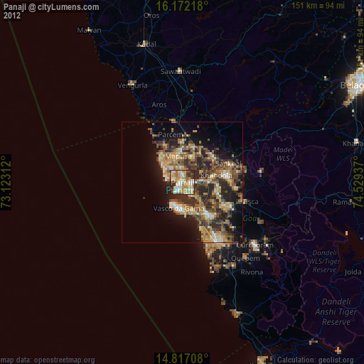
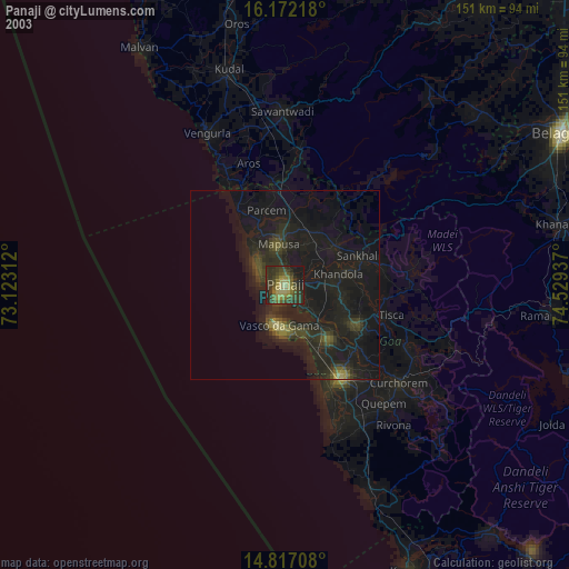
» NASA city lights 2003
» Earth at Night: Flat Maps 2012, 2016