Bambolim night lights from space
Night Light of Bambolim (Goa) from space (India) Src. Average luminocity for 10x10km area is 79.0195% and for 50x50km: 37.7725%.
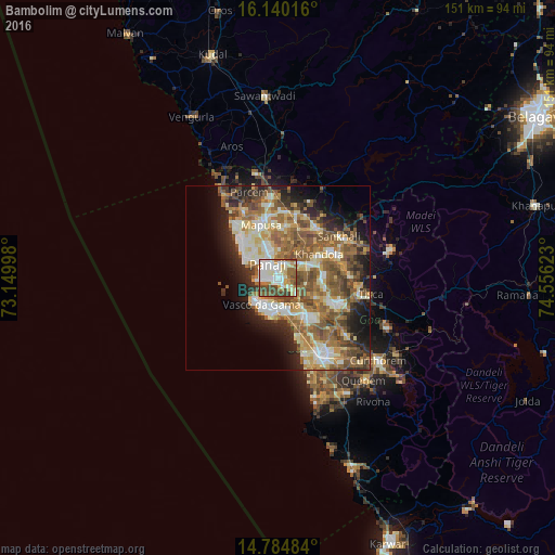
Analysis of Bambolim night lights 2016
Square area 10x10 km:
 17.1%
17.1%90-99
30.74%80-89
9.96%70-79
7.14%60-69
9.09%50-59
9.52%40-49
16.45%30-39
0%20-29
0%10-19
0%0-9
0%Square area 50x50 km:
4.14%90-99
8.53%80-89
5.48%70-79
4.39%60-69
7.62%50-59
9.22%40-49
6.57%30-39
4.41%20-29
6.43%10-19
8.92%0-9
34.29%Clear (daylight) street map image can be seen on geolist.org.
Map coordinates:
16° 8' 24.6" North, 73° 8' 59.9" East
15° 27' 49" North, 73° 51' 11.2" East
14° 47' 5.4" North, 74° 33' 22.4" East
Some cities around Bambolim sort by population:
• Mormugao
9.2 km =5.7 mi,  206°
206°
• Vasco da Gama
8.5 km =5.3 mi, 208°
• Panaji
4.6 km =2.9 mi,  321°
321°
• Taleigao
2.3 km =1.4 mi,  285°
285°
• Serula
9.4 km =5.8 mi,  353°
353°
• Chicalim
7.4 km =4.6 mi,  189°
189°
• Cortalim
9 km =5.6 mi,  138°
138°
• Goa Velha
4.1 km =2.5 mi,  122°
122°
1277477 (p: 5,441)
Sources (retrieved 2019-11-25):
» Earth at Night: Flat Maps 2012, 2016