Ozar night lights from space
Night Light of Ozar (Maharashtra) from space (India) Src. Average luminocity for 10x10km area is 46.4484% and for 50x50km: 29.3386%.
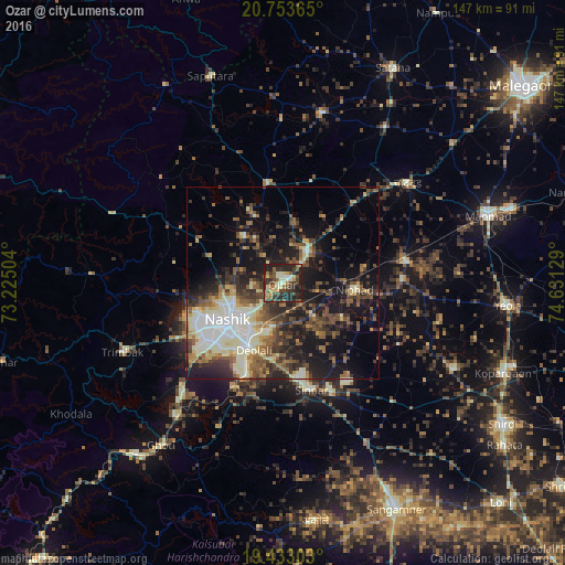
Analysis of Ozar night lights 2016
Square area 10x10 km:
 0.79%
0.79%90-99
10.91%80-89
5.56%70-79
7.34%60-69
3.77%50-59
9.52%40-49
10.32%30-39
12.3%20-29
29.96%10-19
9.52%0-9
0%Square area 50x50 km:
3.28%90-99
7.09%80-89
2.57%70-79
2.58%60-69
3.52%50-59
5.53%40-49
5.33%30-39
5.79%20-29
8.47%10-19
18.11%0-9
37.73%Clear (daylight) street map image can be seen on geolist.org.
Map coordinates:
20° 45' 13.1" North, 73° 13' 30.1" East
20° 5' 41" North, 73° 55' 41.4" East
19° 25' 58.9" North, 74° 37' 52.6" East
Some cities around Ozar sort by population:
• Nashik
18 km =11.2 mi,  232°
232°
• Manmād
56 km =34.8 mi,  71°
71°
• Deolāli
19.4 km =12.1 mi,  210°
210°
• Sinnar
28.7 km =17.8 mi,  165°
165°
• Ghoti Budrukh
52.5 km =32.6 mi,  216°
216°
• Chāndor
42.2 km =26.2 mi,  51°
51°
• Lāsalgaon
32.9 km =20.4 mi,  80°
80°
• Trimbak
45.4 km =28.2 mi,  246°
246°
1261068 (p: 44,935)
Sources (retrieved 2019-11-25):
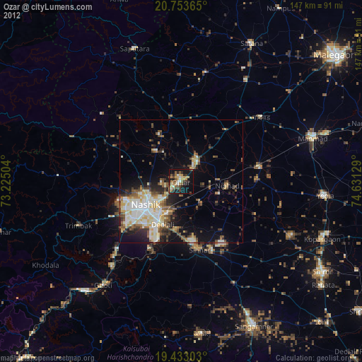
» Earth at Night: Flat Maps 2012, 2016