Naksalbāri night lights from space
Night Light of Naksalbāri (West Bengal) from space (India) Src. Average luminocity for 10x10km area is 15.9034% and for 50x50km: 15.8194%.
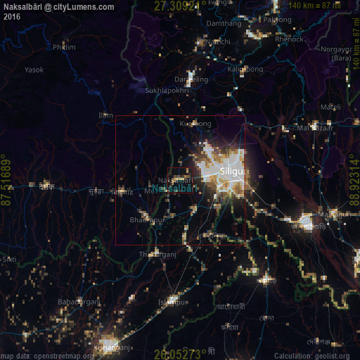
Analysis of Naksalbāri night lights 2016
Square area 10x10 km:
 0%
0%90-99
0%80-89
1.7%70-79
3.03%60-69
2.08%50-59
2.46%40-49
3.98%30-39
3.41%20-29
5.11%10-19
14.58%0-9
63.64%Square area 50x50 km:
3.73%90-99
3.1%80-89
1.41%70-79
1.5%60-69
1.51%50-59
2.04%40-49
2.11%30-39
2.45%20-29
4.12%10-19
5.51%0-9
72.52%Clear (daylight) street map image can be seen on geolist.org.
Map coordinates:
27° 18' 33.2" North, 87° 31' 0.8" East
26° 40' 57.7" North, 88° 13' 12" East
26° 3' 9.8" North, 88° 55' 23.3" East
Some cities around Naksalbāri sort by population:
• Siliguri
20.9 km =13 mi,  81°
81°
• Dārjiling
39.3 km =24.4 mi,  6°
6°
• Kārsiyāng
22.9 km =14.2 mi, 14°
• Bhadrapur, NP
19.8 km =12.3 mi,  219°
219°
• Ilām, NP
38.4 km =23.9 mi,  311°
311°
• Bagdogra
9.3 km =5.8 mi, 78°
• Thākurganj
29.7 km =18.5 mi,  197°
197°
• Mirik
23 km =14.3 mi,  352°
352°
1262092 (p: 57,283)
Sources (retrieved 2019-11-25):
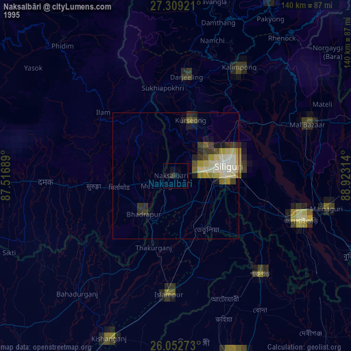
» NASA, Earths city lights 1995
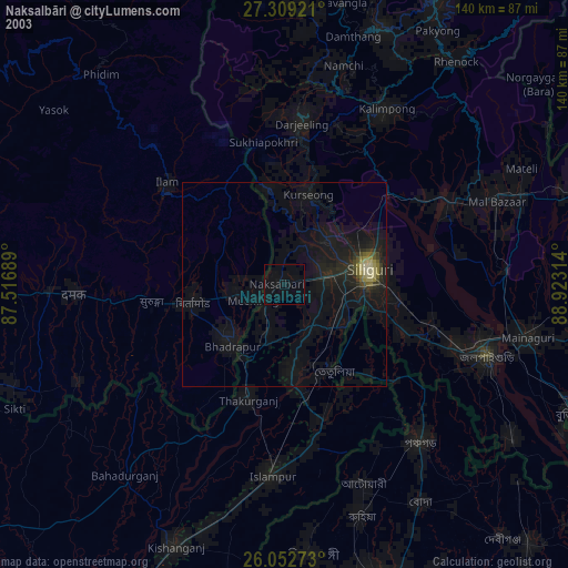
» NASA city lights 2003
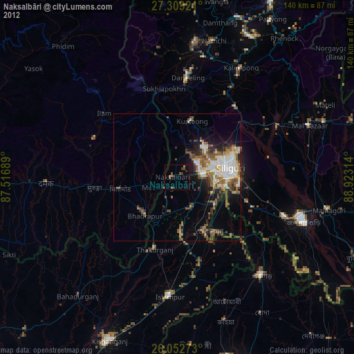
» Earth at Night: Flat Maps 2012, 2016