Monoharpur night lights from space
Night Light of Monoharpur (West Bengal) from space (India) Src. Average luminocity for 10x10km area is 78.7798% and for 50x50km: 40.6488%.
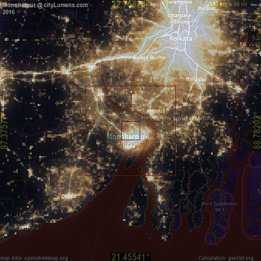
Analysis of Monoharpur night lights 2016
Square area 10x10 km:
 13.1%
13.1%90-99
29.96%80-89
13.69%70-79
10.32%60-69
10.52%50-59
12.7%40-49
8.93%30-39
0.79%20-29
0%10-19
0%0-9
0%Square area 50x50 km:
2.02%90-99
4.73%80-89
3.61%70-79
4.14%60-69
7.83%50-59
12.73%40-49
14.27%30-39
12.87%20-29
12.08%10-19
12.74%0-9
12.99%Clear (daylight) street map image can be seen on geolist.org.
Map coordinates:
22° 45' 29.7" North, 87° 22' 32.8" East
22° 6' 30" North, 88° 4' 44" East
21° 27' 19.5" North, 88° 46' 55.3" East
Some cities around Monoharpur sort by population:
• Haldia
6.2 km =3.9 mi,  149°
149°
• Tamlūk
26.6 km =16.5 mi,  323°
323°
• Diamond Harbour
14.4 km =8.9 mi,  49°
49°
• Mahīshādal
13.3 km =8.3 mi,  310°
310°
• Jāfarpur
28.1 km =17.5 mi,  33°
33°
• Solap
8.5 km =5.3 mi,  75°
75°
• Serpur
33.6 km =20.9 mi,  44°
44°
• Harindānga
26.2 km =16.3 mi,  107°
107°
1349041 (p: 23,362)
Sources (retrieved 2019-11-25):
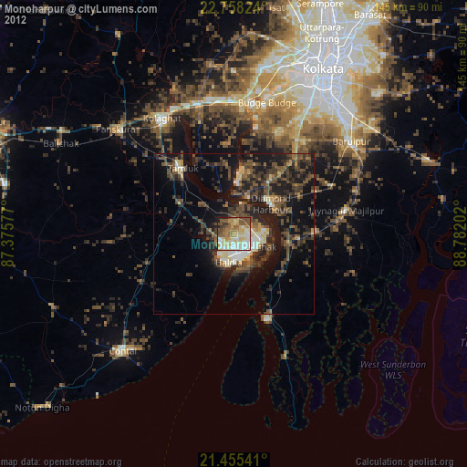
» Earth at Night: Flat Maps 2012, 2016