Ghosī night lights from space
Night Light of Ghosī (Uttar Pradesh) from space (India) Src. Average luminocity for 10x10km area is 68.1806% and for 50x50km: 45.6838%.
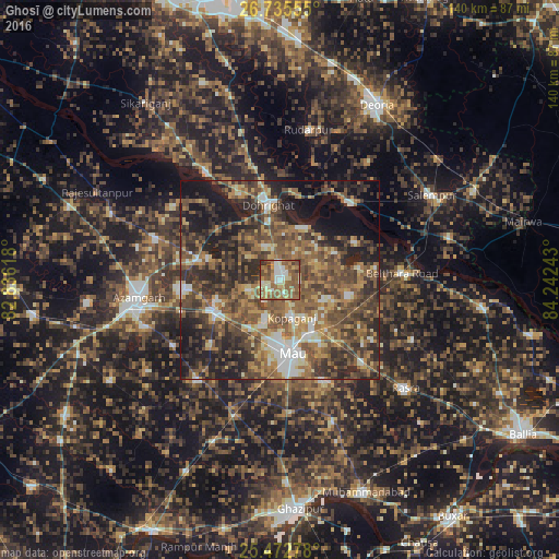
Analysis of Ghosī night lights 2016
Square area 10x10 km:
 8.13%
8.13%90-99
11.11%80-89
10.12%70-79
11.31%60-69
18.25%50-59
27.98%40-49
8.13%30-39
4.96%20-29
0%10-19
0%0-9
0%Square area 50x50 km:
3.69%90-99
5.02%80-89
4.63%70-79
6.53%60-69
9.56%50-59
12.52%40-49
13.3%30-39
11.07%20-29
13.87%10-19
13.14%0-9
6.66%Clear (daylight) street map image can be seen on geolist.org.
Map coordinates:
26° 44' 8" North, 82° 50' 10.2" East
26° 6' 21.1" North, 83° 32' 21.5" East
25° 28' 22" North, 84° 14' 32.7" East
Some cities around Ghosī sort by population:
• Mau
18.4 km =11.4 mi,  173°
173°
• Mubārakpur
24.9 km =15.5 mi,  265°
265°
• Kopāganj
10 km =6.2 mi,  164°
164°
• Muhammadābād
17.7 km =11 mi,  243°
243°
• Chillupār
19.9 km =12.4 mi,  350°
350°
• Jainpur
21.1 km =13.1 mi,  284°
284°
• Dohrighāt
18.7 km =11.6 mi, 350°
• Gola Bāzār
32.4 km =20.1 mi,  325°
325°
1271259 (p: 39,138)
Sources (retrieved 2019-11-25):
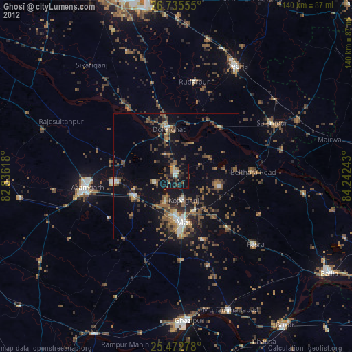
» Earth at Night: Flat Maps 2012, 2016