Mathura night lights from space
Night Light of Mathura (Uttar Pradesh) from space (India) Src. Average luminocity for 10x10km area is 77.4087% and for 50x50km: 20.4668%.
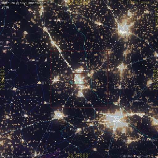
Analysis of Mathura night lights 2016
Square area 10x10 km:
 14.48%
90-99
25.79%80-89
25.6%70-79
4.76%60-69
2.38%50-59
9.92%40-49
5.36%30-39
9.33%20-29
2.38%10-19
0%0-9
0%Square area 50x50 km:
1.56%90-99
2.59%80-89
2.66%70-79
1.4%60-69
2.16%50-59
3.3%40-49
4.13%30-39
5.52%20-29
7.77%10-19
18.71%0-9
50.2%Clear (daylight) street map image can be seen on geolist.org.
Map coordinates:
28° 7' 31.4" North, 76° 58' 8.5" East
27° 30' 12.6" North, 77° 40' 19.7" East
26° 52' 41.1" North, 78° 22' 31" East
Some cities around Mathura sort by population:
• Vrindāvan
9 km =5.6 mi,  15°
15°
• Govardhan
20.7 km =12.9 mi,  267°
267°
• Rāya
13 km =8.1 mi,  63°
63°
• Baldev
18.3 km =11.4 mi,  125°
125°
• Mahāban
10.6 km =6.6 mi,  138°
138°
• Farah
22.2 km =13.8 mi,  156°
156°
• Rādhākund
18 km =11.2 mi,  277°
277°
• Beswān
25.4 km =15.8 mi,  53°
53°
1263364 (p: 330,511)
Sources (retrieved 2019-11-25):
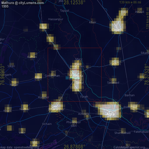
» NASA, Earths city lights 1995
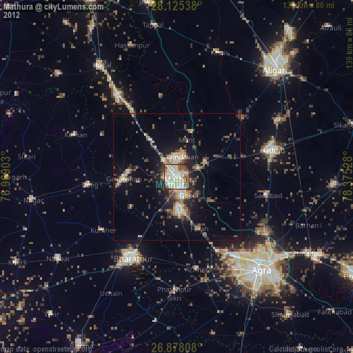
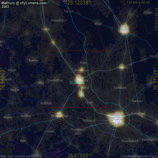
» NASA city lights 2003
» Earth at Night: Flat Maps 2012, 2016