Mangrūl Pīr night lights from space
Night Light of Mangrūl Pīr (Maharashtra) from space (India) Src. Average luminocity for 10x10km area is 9.8016% and for 50x50km: 4.3677%.
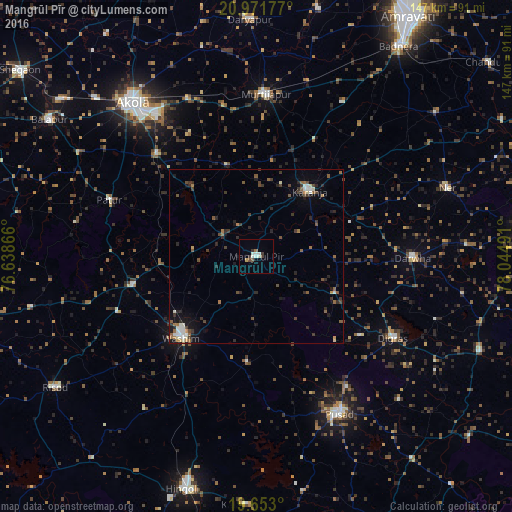
Analysis of Mangrūl Pīr night lights 2016
Square area 10x10 km:
 1.39%
1.39%90-99
3.37%80-89
0%70-79
0.79%60-69
0.6%50-59
0.2%40-49
1.59%30-39
3.17%20-29
0%10-19
0.4%0-9
88.49%Square area 50x50 km:
0.34%90-99
0.63%80-89
0.22%70-79
0.26%60-69
0.53%50-59
0.81%40-49
0.93%30-39
1.16%20-29
1.4%10-19
2.1%0-9
91.62%Clear (daylight) street map image can be seen on geolist.org.
Map coordinates:
20° 58' 18.4" North, 76° 38' 19.2" East
20° 18' 49.6" North, 77° 20' 30.4" East
19° 39' 10.8" North, 78° 2' 41.7" East
Some cities around Mangrūl Pīr sort by population:
• Pusad
51 km =31.7 mi,  151°
151°
• Wāshīm
31.3 km =19.4 mi,  224°
224°
• Kāranja
24.2 km =15 mi,  39°
39°
• Digras
45.7 km =28.4 mi,  120°
120°
• Murtajāpur
46.7 km =29 mi,  3°
3°
• Dārwha
44.9 km =27.9 mi,  90°
90°
• Pātūr
45.2 km =28.1 mi,  291°
291°
• Anshing
30.5 km =19 mi,  185°
185°
1263744 (p: 29,198)
Sources (retrieved 2019-11-25):
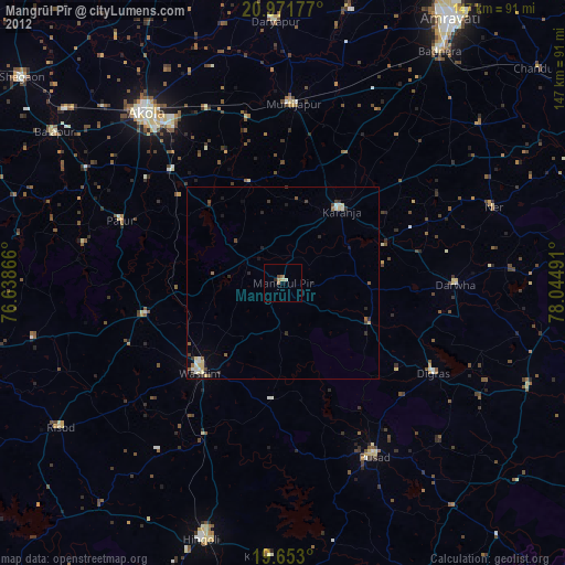
» Earth at Night: Flat Maps 2012, 2016