Kultali night lights from space
Night Light of Kultali (West Bengal) from space (India) Src. Average luminocity for 10x10km area is 0.4782% and for 50x50km: 13.8321%.
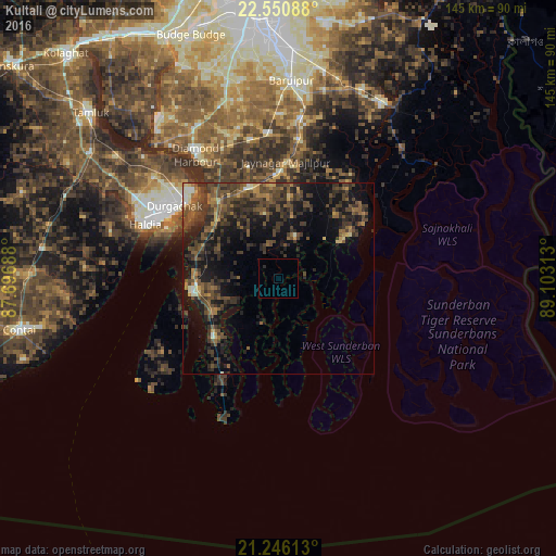
Analysis of Kultali night lights 2016
Square area 10x10 km:
 0%
0%90-99
0%80-89
0%70-79
0%60-69
0%50-59
0%40-49
0%30-39
0%20-29
0.79%10-19
0%0-9
99.21%Square area 50x50 km:
0.19%90-99
0.65%80-89
0.82%70-79
1.09%60-69
2.09%50-59
3.51%40-49
5.81%30-39
5.2%20-29
5.98%10-19
10.72%0-9
63.94%Clear (daylight) street map image can be seen on geolist.org.
Map coordinates:
22° 33' 3.2" North, 87° 41' 48.8" East
21° 54' 0" North, 88° 24' 0" East
21° 14' 46.1" North, 89° 6' 11.3" East
Some cities around Kultali sort by population:
• Bārāsat
36.5 km =22.7 mi,  8°
8°
• Haldia
34.8 km =21.6 mi,  300°
300°
• Diamond Harbour
39.4 km =24.5 mi,  325°
325°
• Nabagrām
44.6 km =27.7 mi, 14°
• Jaynagar-Majilpur
30.7 km =19.1 mi,  3°
3°
• Monoharpur
40.4 km =25.1 mi, 304°
• Solap
35.5 km =22.1 mi,  315°
315°
• Harindānga
17.4 km =10.8 mi, 332°
9781227 (p: 187,942)
Sources (retrieved 2019-11-25):
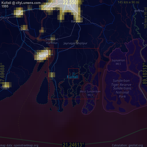
» NASA, Earths city lights 1995
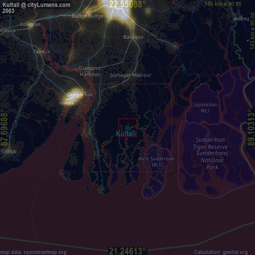
» NASA city lights 2003
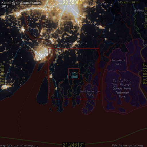
» Earth at Night: Flat Maps 2012, 2016