Bārāsat night lights from space
Night Light of Bārāsat (West Bengal) from space (India) Src. Average luminocity for 10x10km area is 48.517% and for 50x50km: 43.7184%.
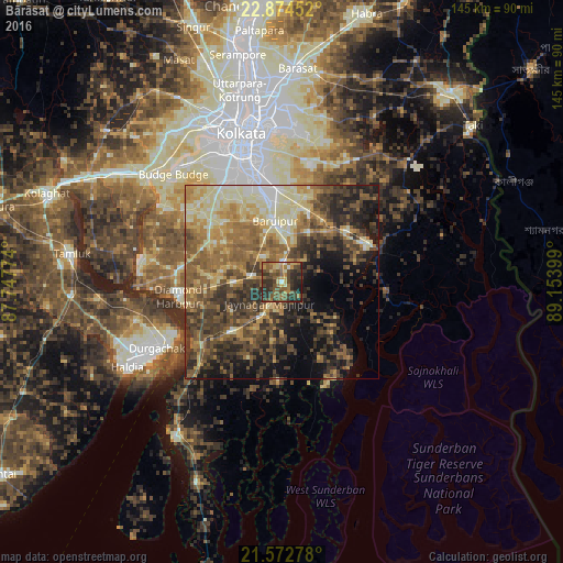
Analysis of Bārāsat night lights 2016
Square area 10x10 km:
 0.76%
0.76%90-99
2.84%80-89
7.01%70-79
6.63%60-69
12.31%50-59
15.72%40-49
16.29%30-39
13.83%20-29
20.83%10-19
3.79%0-9
0%Square area 50x50 km:
1.85%90-99
7.28%80-89
7.86%70-79
6.3%60-69
9.08%50-59
9.43%40-49
10.19%30-39
10.25%20-29
9.87%10-19
10.82%0-9
17.07%Clear (daylight) street map image can be seen on geolist.org.
Map coordinates:
22° 52' 28.3" North, 87° 44' 51.9" East
22° 13' 30.6" North, 88° 27' 3.1" East
21° 34' 22" North, 89° 9' 14.4" East
Some cities around Bārāsat sort by population:
• Bāruipur
14.2 km =8.8 mi,  355°
355°
• Canning
23.9 km =14.9 mi,  65°
65°
• Nabagrām
9.2 km =5.7 mi,  40°
40°
• Jaynagar-Majilpur
6.5 km =4 mi,  211°
211°
• Chāmpāhāti
19.9 km =12.4 mi,  12°
12°
• Amtala
24 km =14.9 mi,  312°
312°
• Serpur
18.3 km =11.4 mi, 306°
• Raypur
21.5 km =13.4 mi,  16°
16°
1277066 (p: 237,783)
Sources (retrieved 2019-11-25):
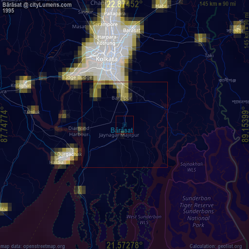
» NASA, Earths city lights 1995
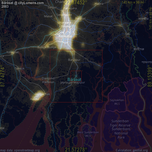
» NASA city lights 2003
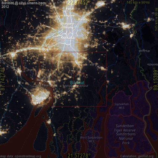
» Earth at Night: Flat Maps 2012, 2016