Krishnarājpet night lights from space
Night Light of Krishnarājpet (Karnataka) from space (India) Src. Average luminocity for 10x10km area is 20.7554% and for 50x50km: 5.239%.
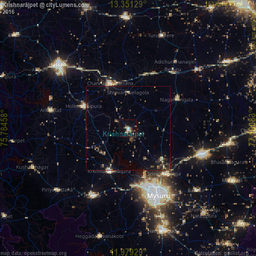
Analysis of Krishnarājpet night lights 2016
Square area 10x10 km:
 0.87%
0.87%90-99
2.81%80-89
4.76%70-79
0.65%60-69
1.95%50-59
3.46%40-49
5.41%30-39
2.16%20-29
3.9%10-19
15.37%0-9
58.66%Square area 50x50 km:
0.07%90-99
0.41%80-89
0.59%70-79
0.23%60-69
0.49%50-59
0.93%40-49
1.56%30-39
1.61%20-29
1.85%10-19
3.41%0-9
88.84%Clear (daylight) street map image can be seen on geolist.org.
Map coordinates:
13° 21' 4.6" North, 75° 47' 4.5" East
12° 39' 58.4" North, 76° 29' 15.7" East
11° 58' 45.4" North, 77° 11' 27" East
Some cities around Krishnarājpet sort by population:
• Mysore
44.1 km =27.4 mi,  158°
158°
• Channarāyapatna
28.8 km =17.9 mi,  337°
337°
• Hole Narsipur
29.7 km =18.5 mi,  296°
296°
• Shrīrangapattana
34.5 km =21.4 mi,  141°
141°
• French Rocks
27.3 km =17 mi,  132°
132°
• Nāgamangala
33.6 km =20.9 mi,  59°
59°
• Bellūru
44 km =27.3 mi,  37°
37°
• Srāvana Belgola
21.3 km =13.2 mi,  0°
0°
1265852 (p: 24,289)
Sources (retrieved 2019-11-25):
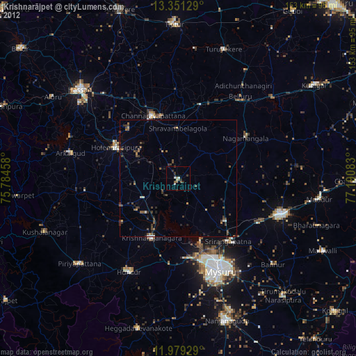
» Earth at Night: Flat Maps 2012, 2016