Kharagpur night lights from space
Night Light of Kharagpur (West Bengal) from space (India) Src. Average luminocity for 10x10km area is 87.1269% and for 50x50km: 18.545%.
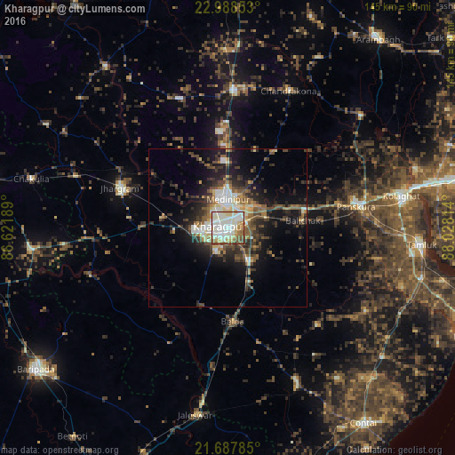
Analysis of Kharagpur night lights 2016
Square area 10x10 km:
 21.78%
90-99
44.13%80-89
9.85%70-79
5.68%60-69
7.2%50-59
8.52%40-49
2.27%30-39
0.57%20-29
0%10-19
0%0-9
0%Square area 50x50 km:
2.05%90-99
4.15%80-89
1.53%70-79
1.58%60-69
2.2%50-59
3.39%40-49
3.81%30-39
3.65%20-29
5.64%10-19
10.42%0-9
61.57%Clear (daylight) street map image can be seen on geolist.org.
Map coordinates:
22° 59' 18.7" North, 86° 37' 18.8" East
22° 20' 23" North, 87° 19' 30" East
21° 41' 16.3" North, 88° 1' 41.3" East
Some cities around Kharagpur sort by population:
• Medinīpur
9.1 km =5.7 mi,  358°
358°
• Jhārgrām
36.2 km =22.5 mi,  290°
290°
• Ghātāl
55.3 km =34.4 mi,  49°
49°
• Egra
53.6 km =33.3 mi,  155°
155°
• Jaleshwar
60.7 km =37.7 mi,  190°
190°
• Chandrakona
48 km =29.8 mi,  24°
24°
• Āmlāgora
56.3 km =35 mi,  1°
1°
• Bāli Chak
23.6 km =14.7 mi,  83°
83°
1266976 (p: 219,665)
Sources (retrieved 2019-11-25):
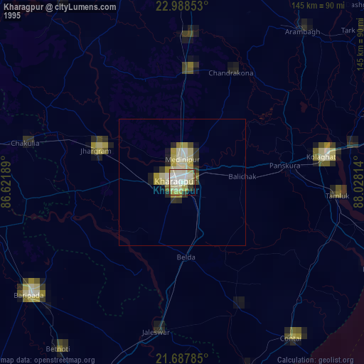
» NASA, Earths city lights 1995
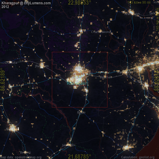
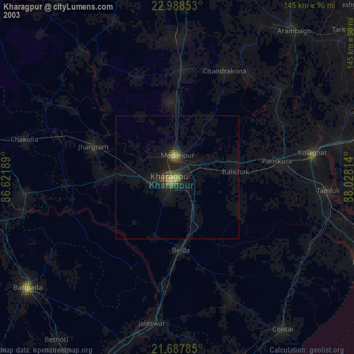
» NASA city lights 2003
» Earth at Night: Flat Maps 2012, 2016