Chhāta night lights from space
Night Light of Chhāta (Uttar Pradesh) from space (India) Src. Average luminocity for 10x10km area is 28.0615% and for 50x50km: 14.7218%.
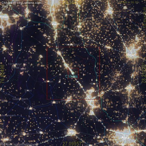
Analysis of Chhāta night lights 2016
Square area 10x10 km:
 2.38%
2.38%90-99
6.55%80-89
2.78%70-79
2.18%60-69
0.99%50-59
3.37%40-49
6.55%30-39
1.79%20-29
9.33%10-19
40.87%0-9
23.21%Square area 50x50 km:
1.14%90-99
2.14%80-89
1.91%70-79
1.08%60-69
1.47%50-59
1.92%40-49
2.59%30-39
3.6%20-29
4.91%10-19
13.62%0-9
65.63%Clear (daylight) street map image can be seen on geolist.org.
Map coordinates:
28° 20' 39.7" North, 76° 48' 17.9" East
27° 43' 25.5" North, 77° 30' 29.2" East
27° 5' 58.5" North, 78° 12' 40.4" East
Some cities around Chhāta sort by population:
• Vrindāvan
24.4 km =15.2 mi,  130°
130°
• Kosi
10.5 km =6.5 mi,  318°
318°
• Hodal
23.3 km =14.5 mi, 323°
• Kāman
24.6 km =15.3 mi,  252°
252°
• Nandgaon
12 km =7.5 mi,  263°
263°
• Barsāna
15.5 km =9.6 mi,  237°
237°
• Bājna
25.6 km =15.9 mi,  40°
40°
• Rādhākund
22.2 km =13.8 mi,  184°
184°
1274343 (p: 21,260)
Sources (retrieved 2019-11-25):
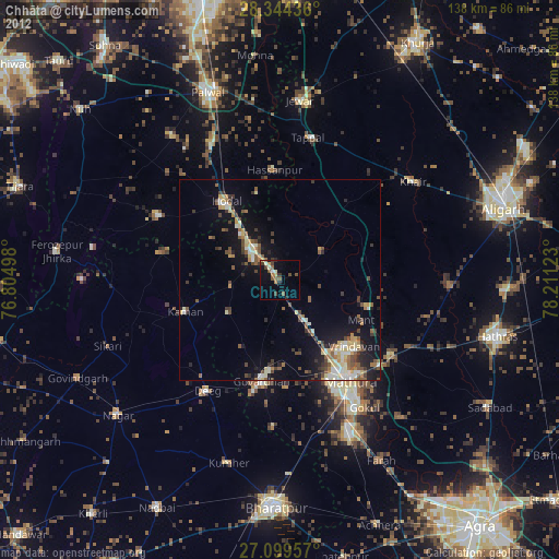
» Earth at Night: Flat Maps 2012, 2016