Hoshiārpur night lights from space
Night Light of Hoshiārpur (Punjab) from space (India) Src. Average luminocity for 10x10km area is 59.7255% and for 50x50km: 9.0325%.
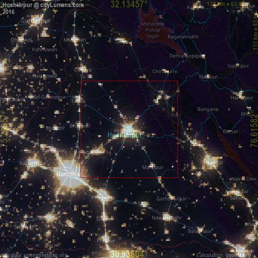
Analysis of Hoshiārpur night lights 2016
Square area 10x10 km:
 9.62%
9.62%90-99
17.13%80-89
4.72%70-79
6.29%60-69
7.69%50-59
9.62%40-49
16.26%30-39
10.66%20-29
13.29%10-19
4.72%0-9
0%Square area 50x50 km:
0.56%90-99
1.39%80-89
0.56%70-79
0.72%60-69
0.96%50-59
1.68%40-49
2.31%30-39
1.9%20-29
3.07%10-19
7.39%0-9
79.47%Clear (daylight) street map image can be seen on geolist.org.
Map coordinates:
32° 8' 4.5" North, 75° 12' 34.5" East
31° 32' 14" North, 75° 54' 45.7" East
30° 56' 9.7" North, 76° 36' 57" East
Some cities around Hoshiārpur sort by population:
• Phagwāra
37.2 km =23.1 mi,  200°
200°
• Bhogpur
25.7 km =16 mi,  274°
274°
• Una
34.7 km =21.6 mi,  103°
103°
• Adampur
22.1 km =13.7 mi,  238°
238°
• Begowāl
38 km =23.6 mi,  282°
282°
• Hariāna
12.9 km =8 mi,  327°
327°
• Alāwalpur
27 km =16.8 mi, 244°
• Garhdiwāla
27.1 km =16.8 mi, 326°
1269937 (p: 158,142)
Sources (retrieved 2019-11-25):
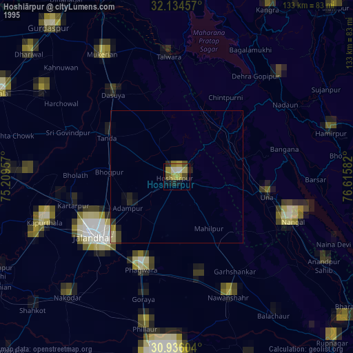
» NASA, Earths city lights 1995
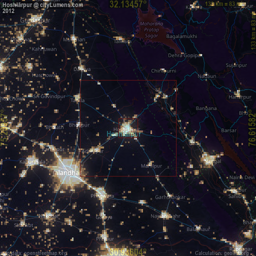
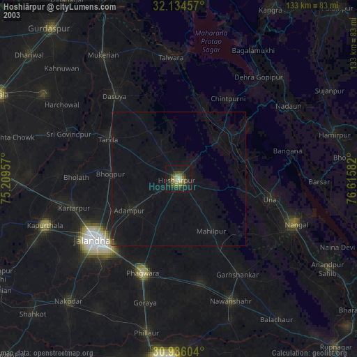
» NASA city lights 2003
» Earth at Night: Flat Maps 2012, 2016