Harda Khās night lights from space
Night Light of Harda Khās (Madhya Pradesh) from space (India) Src. Average luminocity for 10x10km area is 31.017% and for 50x50km: 4.4214%.
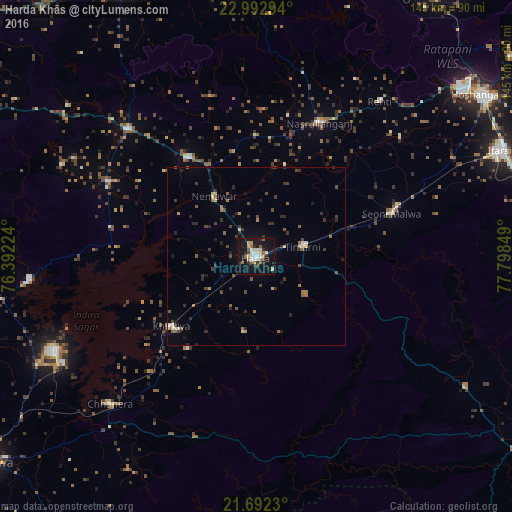
Analysis of Harda Khās night lights 2016
Square area 10x10 km:
 4.55%
4.55%90-99
6.82%80-89
2.84%70-79
2.84%60-69
4.36%50-59
4.17%40-49
2.46%30-39
3.6%20-29
4.92%10-19
42.99%0-9
20.45%Square area 50x50 km:
0.34%90-99
0.4%80-89
0.35%70-79
0.31%60-69
0.7%50-59
0.81%40-49
0.85%30-39
0.93%20-29
1.32%10-19
2.69%0-9
91.3%Clear (daylight) street map image can be seen on geolist.org.
Map coordinates:
22° 59' 34.6" North, 76° 23' 32.1" East
22° 20' 38.9" North, 77° 5' 43.3" East
21° 41' 32.3" North, 77° 47' 54.6" East
Some cities around Harda Khās sort by population:
• Seoni Mālwa
39.9 km =24.8 mi,  72°
72°
• Khātegaon
33.7 km =20.9 mi,  326°
326°
• Khirkiyān
31.1 km =19.3 mi,  230°
230°
• Nasrullāhganj
41.8 km =26 mi,  25°
25°
• Harsūd
46.1 km =28.6 mi, 233°
• Kannod
51 km =31.7 mi,  314°
314°
• Satwās
47.3 km =29.4 mi,  296°
296°
• Rehti
55.9 km =34.7 mi,  38°
38°
1270375 (p: 67,387)
Sources (retrieved 2019-11-25):
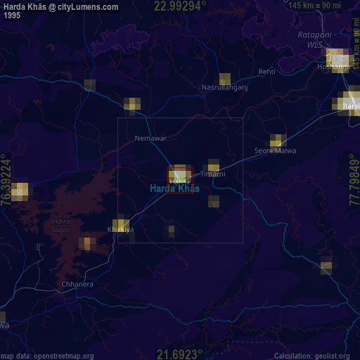
» NASA, Earths city lights 1995
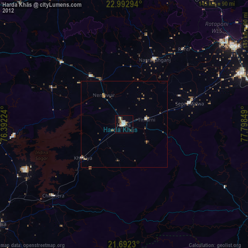
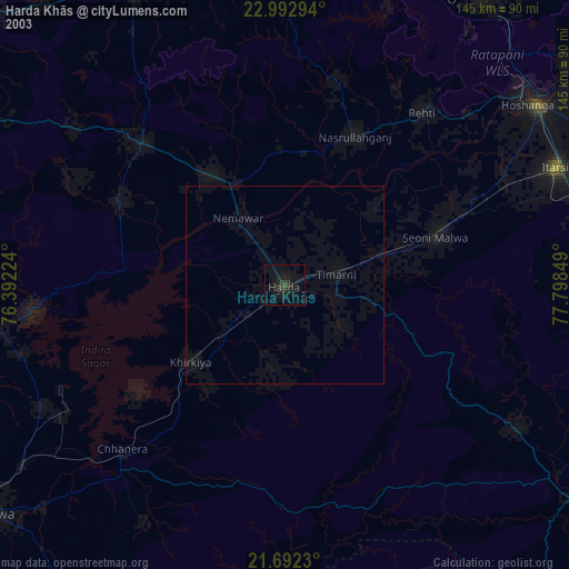
» NASA city lights 2003
» Earth at Night: Flat Maps 2012, 2016