Savanūr night lights from space
Night Light of Savanūr (Karnataka) from space (India) Src. Average luminocity for 10x10km area is 10.0888% and for 50x50km: 5.505%.
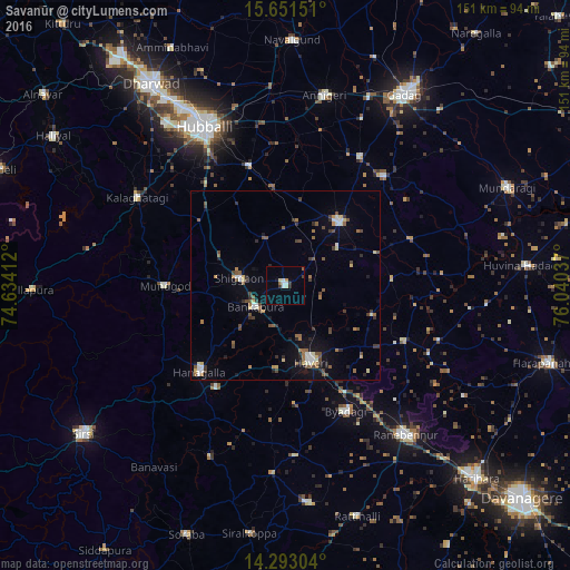
Analysis of Savanūr night lights 2016
Square area 10x10 km:
 0.41%
0.41%90-99
3.51%80-89
1.03%70-79
0.62%60-69
1.03%50-59
0.41%40-49
0%30-39
2.27%20-29
1.03%10-19
1.45%0-9
88.22%Square area 50x50 km:
0.41%90-99
0.77%80-89
0.63%70-79
0.24%60-69
0.82%50-59
1.03%40-49
1.16%30-39
0.93%20-29
0.8%10-19
2.22%0-9
90.99%Clear (daylight) street map image can be seen on geolist.org.
Map coordinates:
15° 39' 5.4" North, 74° 38' 2.8" East
14° 58' 24.1" North, 75° 20' 14.1" East
14° 17' 34.9" North, 76° 2' 25.3" East
Some cities around Savanūr sort by population:
• Hāveri
21.3 km =13.2 mi,  160°
160°
• Lakshmeshwar
22.2 km =13.8 mi,  39°
39°
• Byādgi
37 km =23 mi,  154°
154°
• Hāngal
32.6 km =20.3 mi,  224°
224°
• Shiggaon
12.2 km =7.6 mi,  279°
279°
• Kundgol
32.9 km =20.4 mi,  342°
342°
• Mundgod
32.3 km =20.1 mi,  269°
269°
• Shirhatti
38.9 km =24.2 mi, 42°
1256967 (p: 37,819)
Sources (retrieved 2019-11-25):
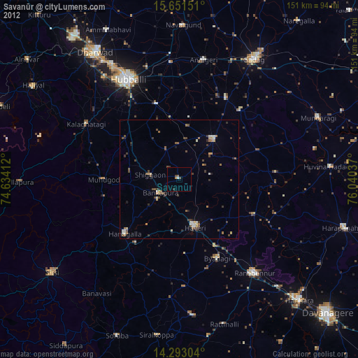
» Earth at Night: Flat Maps 2012, 2016