Gundlupēt night lights from space
Night Light of Gundlupēt (Karnataka) from space (India) Src. Average luminocity for 10x10km area is 12.7934% and for 50x50km: 1.833%.
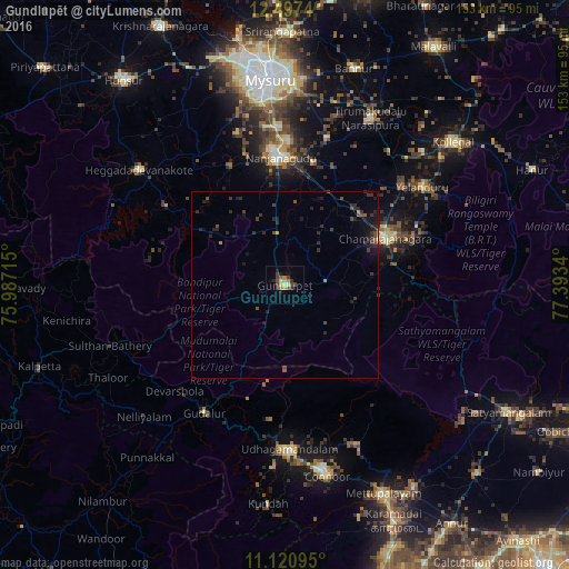
Analysis of Gundlupēt night lights 2016
Square area 10x10 km:
 0%
0%90-99
0.83%80-89
2.89%70-79
1.86%60-69
1.86%50-59
1.65%40-49
3.72%30-39
4.13%20-29
1.65%10-19
3.51%0-9
77.89%Square area 50x50 km:
0%90-99
0.03%80-89
0.12%70-79
0.19%60-69
0.09%50-59
0.24%40-49
0.61%30-39
0.77%20-29
1.16%10-19
1.36%0-9
95.41%Clear (daylight) street map image can be seen on geolist.org.
Map coordinates:
12° 29' 50.6" North, 75° 59' 13.7" East
11° 48' 36.1" North, 76° 41' 25" East
11° 7' 15.4" North, 77° 23' 36.2" East
Some cities around Gundlupēt sort by population:
• Ooty
44.1 km =27.4 mi,  179°
179°
• Chamrajnagar
29.9 km =18.6 mi,  65°
65°
• Nanjangūd
34.2 km =21.3 mi,  358°
358°
• Kotagiri
47.1 km =29.3 mi,  156°
156°
• Naduvattam
39.9 km =24.8 mi,  203°
203°
• Sargūr
38.3 km =23.8 mi,  303°
303°
• Masinigudi
27.4 km =17 mi,  191°
191°
• Yelandūr
45.4 km =28.2 mi,  54°
54°
1270686 (p: 27,197)
Sources (retrieved 2019-11-25):
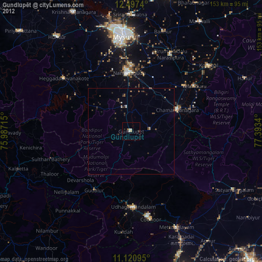
» Earth at Night: Flat Maps 2012, 2016