Deoria night lights from space
Night Light of Deoria (Uttar Pradesh) from space (India) Src. Average luminocity for 10x10km area is 66.7973% and for 50x50km: 21.8329%.
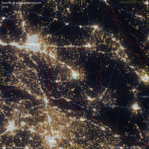
Analysis of Deoria night lights 2016
Square area 10x10 km:
 13.64%
90-99
14.39%80-89
6.25%70-79
11.74%60-69
8.71%50-59
13.07%40-49
19.7%30-39
8.52%20-29
3.98%10-19
0%0-9
0%Square area 50x50 km:
1.23%90-99
1.77%80-89
0.99%70-79
1.94%60-69
2.74%50-59
4.82%40-49
6.5%30-39
7.7%20-29
10.86%10-19
17.87%0-9
43.58%Clear (daylight) street map image can be seen on geolist.org.
Map coordinates:
27° 7' 45" North, 83° 4' 34.5" East
26° 30' 6" North, 83° 46' 45.7" East
25° 52' 14.6" North, 84° 28' 57" East
Some cities around Deoria sort by population:
• Rūdarpur
17.7 km =11 mi,  249°
249°
• Lar
38.1 km =23.7 mi,  150°
150°
• Chillupār
36.5 km =22.7 mi,  228°
228°
• Bilthra
43.1 km =26.8 mi,  164°
164°
• Pipraich
44.1 km =27.4 mi,  325°
325°
• Bānsgāon
43.5 km =27 mi,  277°
277°
• Hātā
26.8 km =16.7 mi,  352°
352°
• Dohrighāt
37.1 km =23.1 mi, 226°
1273193 (p: 129,570)
Sources (retrieved 2019-11-25):
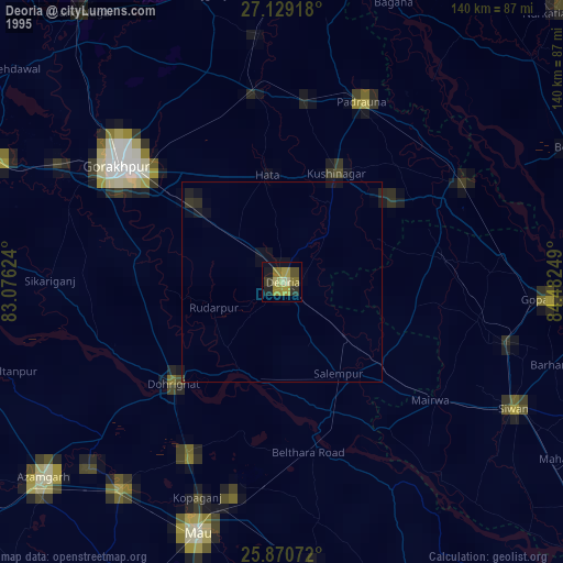
» NASA, Earths city lights 1995
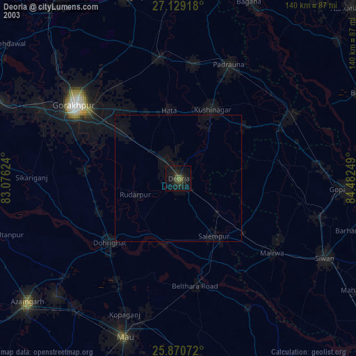
» NASA city lights 2003
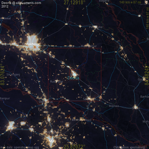
» Earth at Night: Flat Maps 2012, 2016