Rūdarpur night lights from space
Night Light of Rūdarpur (Uttar Pradesh) from space (India) Src. Average luminocity for 10x10km area is 22.2045% and for 50x50km: 26.8221%.
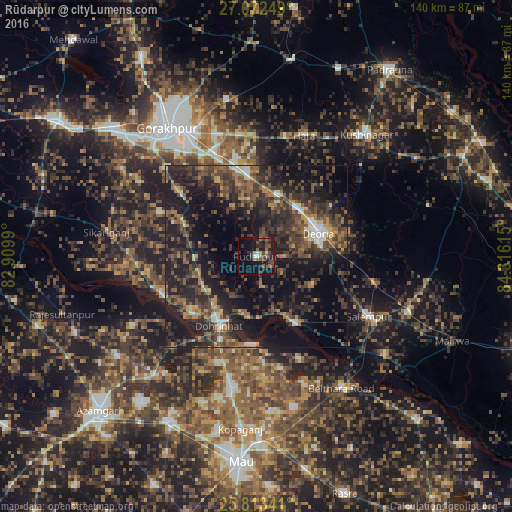
Analysis of Rūdarpur night lights 2016
Square area 10x10 km:
 0.95%
0.95%90-99
2.08%80-89
0%70-79
1.33%60-69
3.41%50-59
5.11%40-49
6.82%30-39
5.68%20-29
12.69%10-19
23.48%0-9
38.45%Square area 50x50 km:
1.26%90-99
1.89%80-89
1.55%70-79
2.55%60-69
3.67%50-59
6.04%40-49
8.11%30-39
9.1%20-29
14.48%10-19
22.31%0-9
29.04%Clear (daylight) street map image can be seen on geolist.org.
Map coordinates:
27° 4' 21" North, 82° 54' 35.6" East
26° 26' 40.8" North, 83° 36' 46.9" East
25° 48' 48.3" North, 84° 18' 58.1" East
Some cities around Rūdarpur sort by population:
• Deoria
17.7 km =11 mi,  69°
69°
• Ghosī
38.4 km =23.9 mi,  191°
191°
• Chillupār
21 km =13 mi,  210°
210°
• Bānsgāon
29.1 km =18.1 mi,  293°
293°
• Hātā
35.5 km =22.1 mi,  21°
21°
• Jainpur
42.6 km =26.5 mi,  220°
220°
• Dohrighāt
21.8 km =13.5 mi, 208°
• Gola Bāzār
28.2 km =17.5 mi,  246°
246°
1258012 (p: 30,873)
Sources (retrieved 2019-11-25):
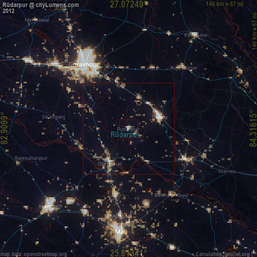
» Earth at Night: Flat Maps 2012, 2016