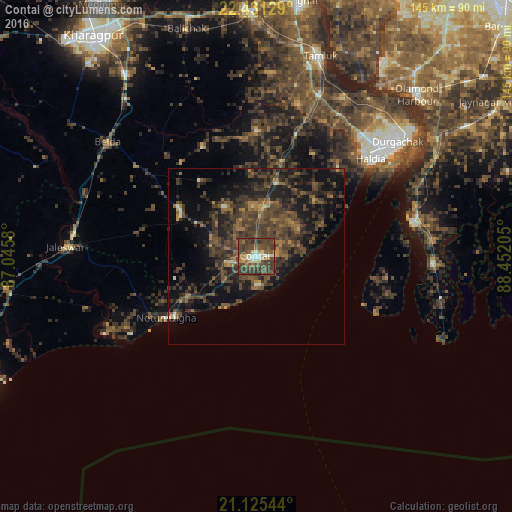
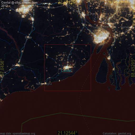
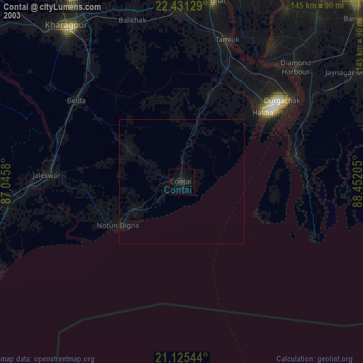
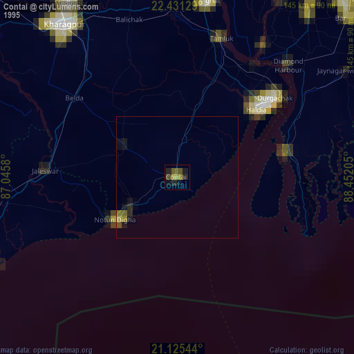
Contai night lights from space
Night Light of Contai (West Bengal) from space (India) Src. Average luminocity for 10x10km area is 54.4603% and for 50x50km: 17.123%.
Analysis of Contai night lights 2016
Square area 10x10 km:
 2.58%
2.58%90-99
10.91%80-89
4.17%70-79
4.37%60-69
7.94%50-59
10.91%40-49
34.72%30-39
21.83%20-29
2.58%10-19
0%0-9
0%Square area 50x50 km:
0.15%90-99
0.89%80-89
0.57%70-79
0.95%60-69
2.54%50-59
3.74%40-49
8.04%30-39
8.77%20-29
7.64%10-19
11.94%0-9
54.77%Clear (daylight) street map image can be seen on geolist.org.
Map coordinates:
22° 25' 52.6" North, 87° 2' 44.9" East
21° 46' 47.5" North, 87° 44' 56.1" East
21° 7' 31.6" North, 88° 27' 7.4" East
Some cities around Contai sort by population:
• Haldia
48.6 km =30.2 mi,  50°
50°
• Tamlūk
60.7 km =37.7 mi,  17°
17°
• Diamond Harbour
64.3 km =40 mi,  44°
44°
• Egra
25.5 km =15.8 mi,  301°
301°
• Monoharpur
49.9 km =31 mi, 42°
• Jaleshwar
54.4 km =33.8 mi,  272°
272°
• Mahīshādal
51.1 km =31.8 mi,  27°
27°
• Solap
57.3 km =35.6 mi, 47°
1344069 (p: 88,702)
Sources (retrieved 2019-11-25):
» NASA, Earths city lights 1995
» NASA city lights 2003
» Earth at Night: Flat Maps 2012, 2016