Chittūr night lights from space
Night Light of Chittūr (Kerala) from space (India) Src. Average luminocity for 10x10km area is 5.9421% and for 50x50km: 8.0794%.
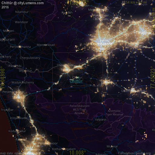
Analysis of Chittūr night lights 2016
Square area 10x10 km:
 0%
0%90-99
0%80-89
0%70-79
0%60-69
1.65%50-59
0.83%40-49
0.83%30-39
1.45%20-29
3.1%10-19
5.99%0-9
86.16%Square area 50x50 km:
0.04%90-99
0.59%80-89
0.93%70-79
1.45%60-69
1.06%50-59
1.3%40-49
1.83%30-39
2.14%20-29
2.98%10-19
6.94%0-9
80.74%Clear (daylight) street map image can be seen on geolist.org.
Map coordinates:
11° 23' 23.2" North, 76° 2' 38.3" East
10° 41' 58.8" North, 76° 44' 49.6" East
10° 0' 28.8" North, 77° 27' 0.8" East
Some cities around Chittūr sort by population:
• Pālghāt
13.1 km =8.1 mi,  308°
308°
• Pollachi
28.9 km =18 mi,  99°
99°
• Madukkarai
32.9 km =20.4 mi,  45°
45°
• Chettipālaiyam
39.5 km =24.5 mi, 53°
• Vettaikkaranpudur
23.7 km =14.7 mi,  130°
130°
• Anamalais
24.2 km =15 mi,  122°
122°
• Perūr
35.6 km =22.1 mi,  30°
30°
• Periyanegamam
39.2 km =24.4 mi,  82°
82°
1274032 (p: 31,608)
Sources (retrieved 2019-11-25):
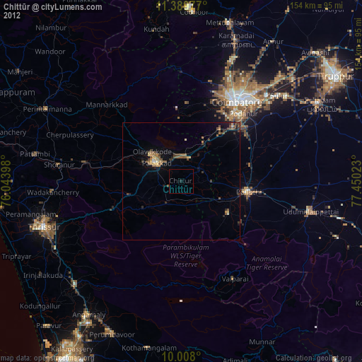
» Earth at Night: Flat Maps 2012, 2016