Belūr night lights from space
Night Light of Belūr (Karnataka) from space (India) Src. Average luminocity for 10x10km area is 12.4502% and for 50x50km: 4.9792%.
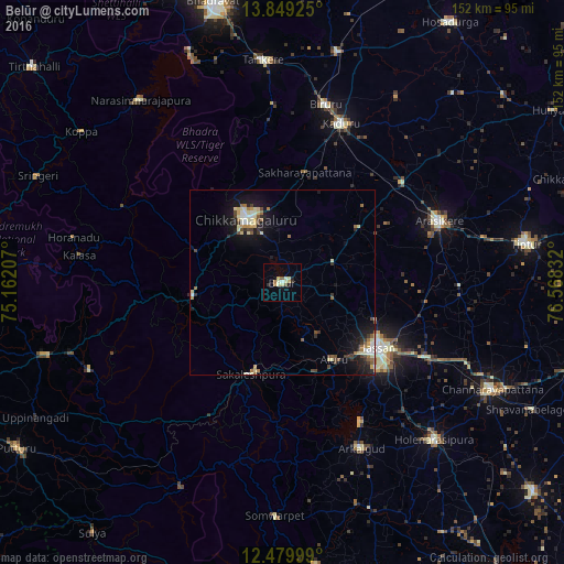
Analysis of Belūr night lights 2016
Square area 10x10 km:
 0.87%
0.87%90-99
2.81%80-89
3.9%70-79
0.22%60-69
1.73%50-59
1.52%40-49
0.22%30-39
0.22%20-29
2.81%10-19
1.52%0-9
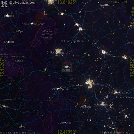
84.2%Square area 50x50 km:
0.4%90-99
1.02%80-89
0.85%70-79
0.34%60-69
0.68%50-59
0.55%40-49
0.66%30-39
0.65%20-29
0.93%10-19
4.14%0-9
89.79%Clear (daylight) street map image can be seen on geolist.org.
Map coordinates:
13° 50' 57.3" North, 75° 9' 43.5" East
13° 9' 56.1" North, 75° 51' 54.7" East
12° 28' 48" North, 76° 34' 6" East
Some cities around Belūr sort by population:
• Hassan
30.6 km =19 mi,  125°
125°
• Chikmagalūr
20 km =12.4 mi,  330°
330°
• Arsikere
45.5 km =28.3 mi,  68°
68°
• Sakleshpur
26.4 km =16.4 mi,  199°
199°
• Mudgere
24.5 km =15.2 mi,  261°
261°
• Bānāvar
42.2 km =26.2 mi,  49°
49°
• Alūr
24.9 km =15.5 mi,  146°
146°
• Gorūr
43.8 km =27.2 mi, 150°
1276486 (p: 21,551)
Sources (retrieved 2019-11-25):
» Earth at Night: Flat Maps 2012, 2016